
Seeker Bio

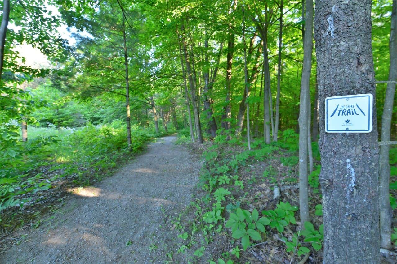
What Is the Trans Canada Trail? A Complete Guide for Travelers

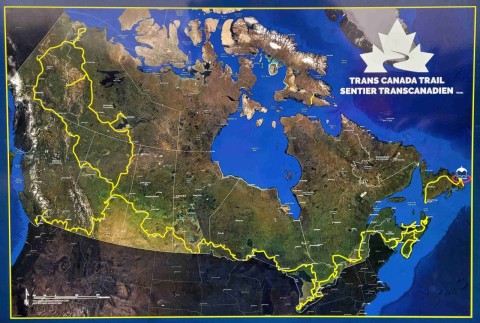
What is the Trans Canada Trail?
Why the Trans Canada Trail Matters for Travelers
The Trans Canada Trail is more than a long-distance route. It offers a unique way to experience Canada that goes beyond traditional travel. The national network connects landscapes, communities, and cultures across the country, offering a way to experience Canada's largest cities and most famous natural wonders, while also connecting with the fabric of its daily life. As such, it is designed for hikers, cyclists, paddlers, and everyday explorers looking to experience the country beyond the most popular tourist hotspots.
For travellers, it also offers flexibility. You can explore short local sections or plan longer journeys across provinces. During our #Hike4birds journey, we experienced how the trail changes from region to region, offering a mix of nature, history, and community connection that few travel experiences provide.
Specifically, it represents:
- Connection across all 10 provinces and 3 territories
- Access to nature in cities, rural communities, national and provincial parks, vast tracts of wilderness and open prairie landscapes
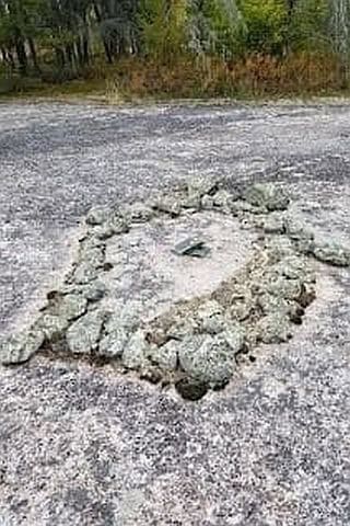
- Preserved history along former rail lines, Indigenous and fur trade routes, and in National Parks and Historic Sites
- Grassroots collaboration through local stewardship by volunteers, trail groups, and communities
- Economic support for small towns
- Shared national identity through outdoor experience of Canada
Over 80% of Canadians live within 30 minutes of the trail, and locals walk, bike, ski, and paddle it in their own communities. At the same time, it represents the dream of something larger – an adventure that connects us coast-to-coast-to-coast. As a result, it is both ordinary and extraordinary, and it is deeply woven into the fabric of Canadian culture and identity. Its significance is measured in use and shared experience, not just kilometres.
Key Facts About the Trans Canada Trail
Location: National, with sections in all 10 provinces and 3 territories.
Length: More than 29,000 km (18,020 + mi)
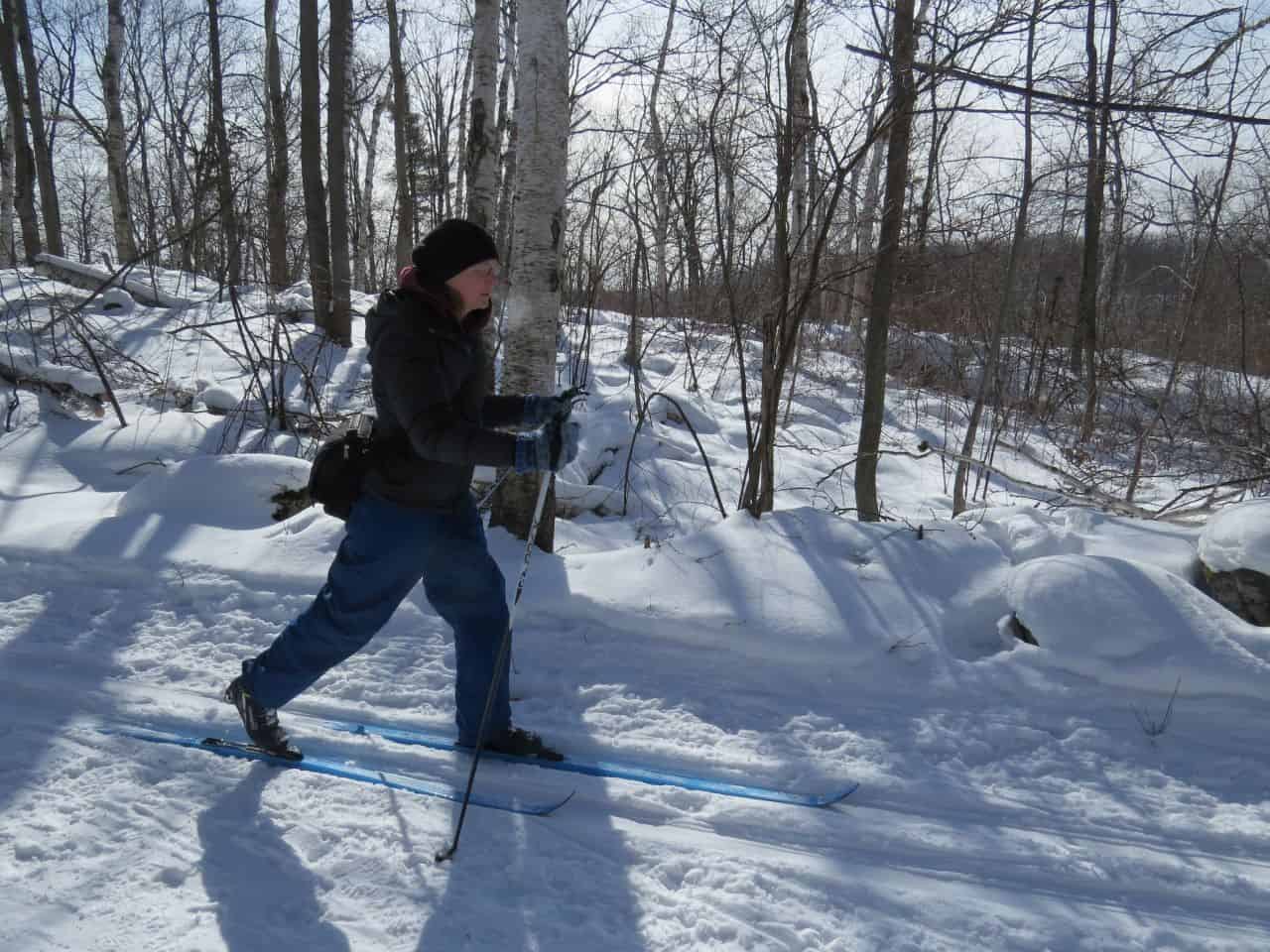
Route Type: Multi-use (hiking, cycling, paddling, horseback riding, skiing, snowmobiling, ATV use).
Best Time to Go: Year-round depending on region, activity, and the type of experience you are looking for.
Cost: Mostly free. Exceptions include trail sections inside some Provincial Parks. Parking fees may apply at trail heads.
Time Needed: To explore the entire Trans Canada Trail network on foot or bicycle can take years. Smaller excursions can be planned as day-hikes, weekend getaways, or month-long trips.
Accessibility: Accessibility varies greatly across the network. Some urban pathways have been fully accessibility-mapped. Many rail trails, like the Best Rail Trails of BC are family friendly. However, remote wilderness sections like the Fundy Footpath are not accessible.
What Is the Trans Canada Trail Exactly?
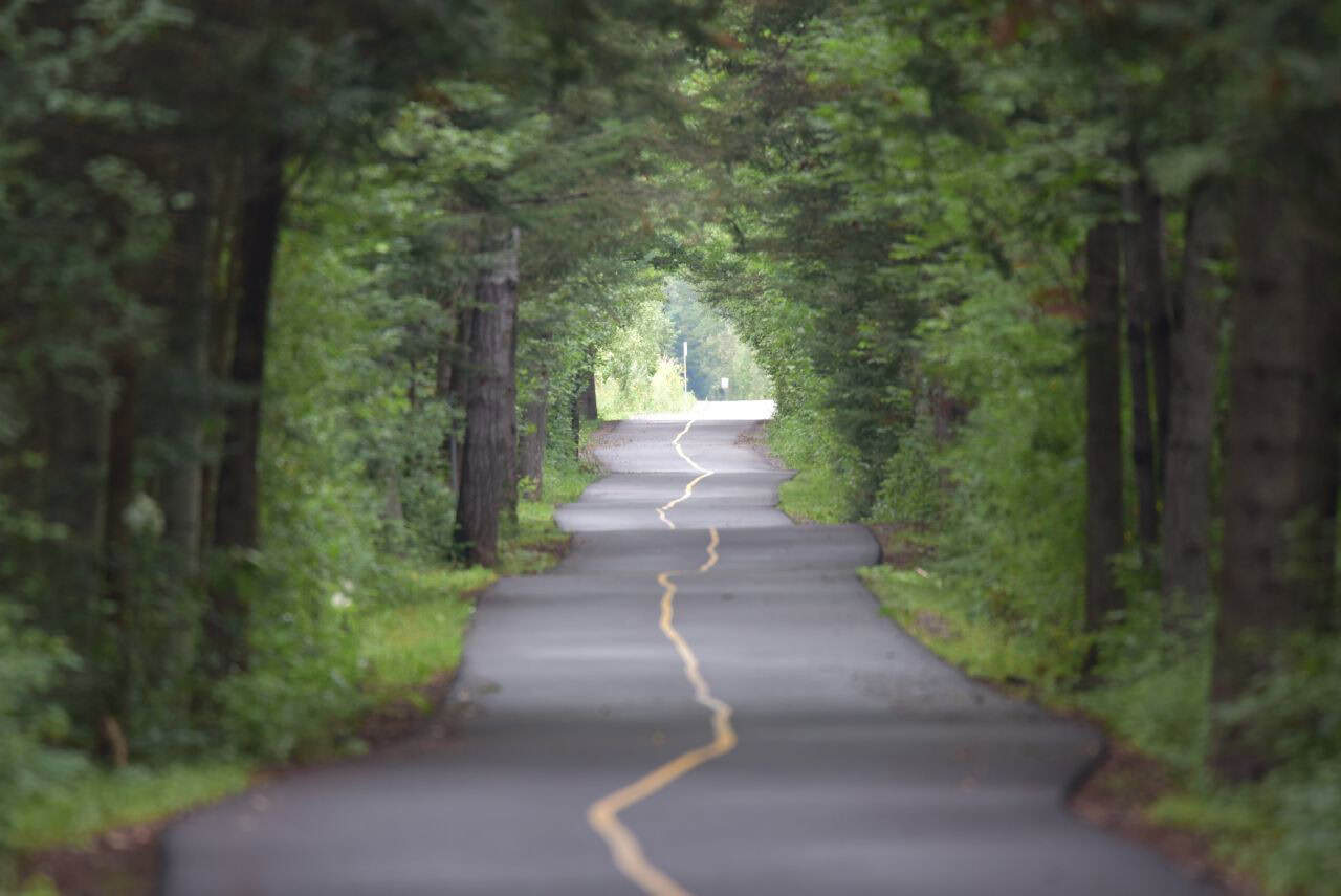
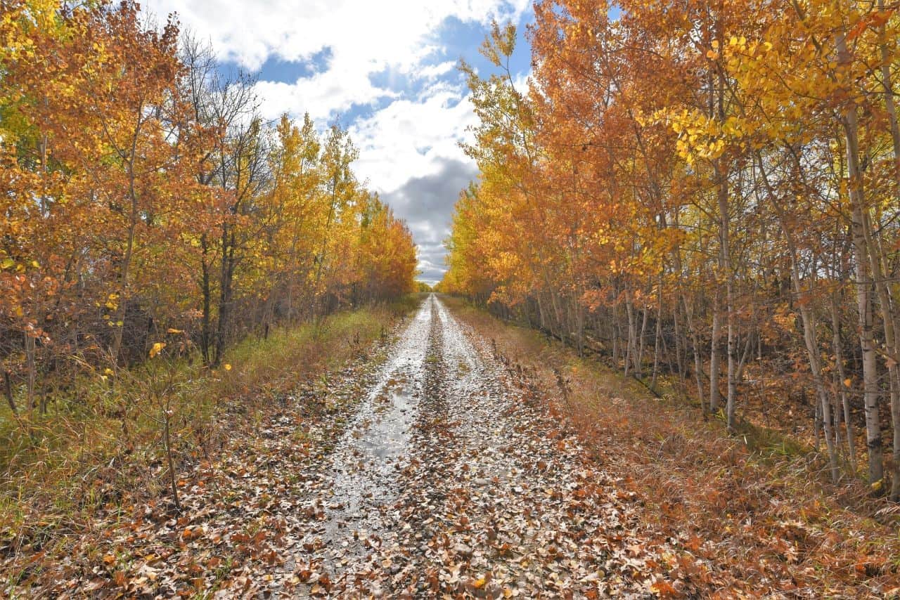
The Trans Canada Trail is a multi-use network that traverses the diverse landscapes of the continent, from the extensive boreal forest of the Canadian Shield, to the open expanse of the prairies, the rugged terrain of the Rocky Mountains, and the frozen tundra of the Far North. As such, the trail combines different surfaces and requires different modes of travel to fully complete.
Specifically, it includes:
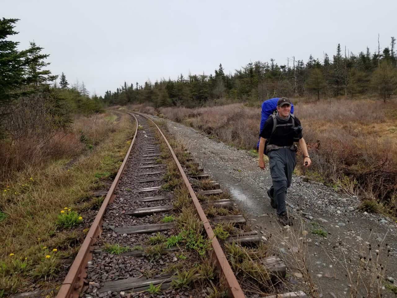
- Former railways that have been converted into gravel or paved trails like the Confederation Trail
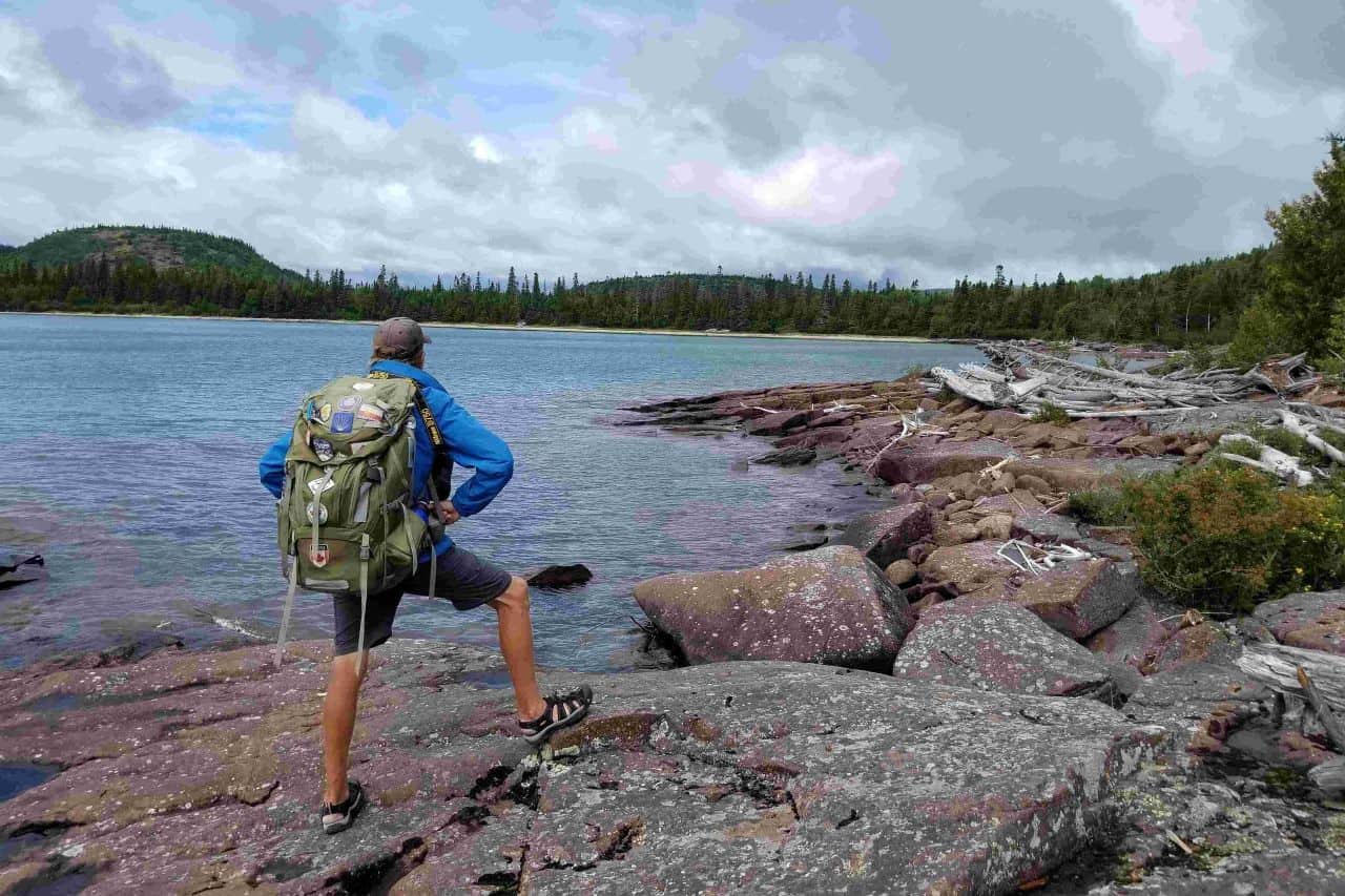
- Rugged coastal footpaths like the East Coast Trail in Newfoundland
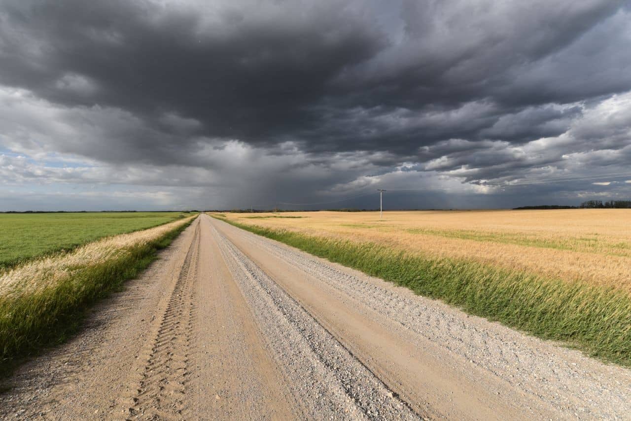
- Prairie gravel roads that traverse open landscapes and river valleys like the Trails of Northern Saskatchewan
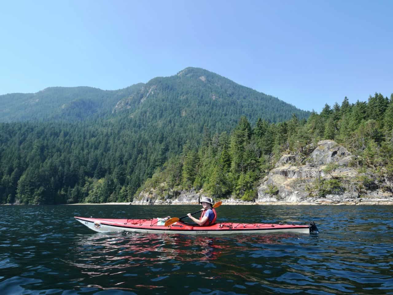
- Remote canoe and kayak water routes like the Path of the Paddle
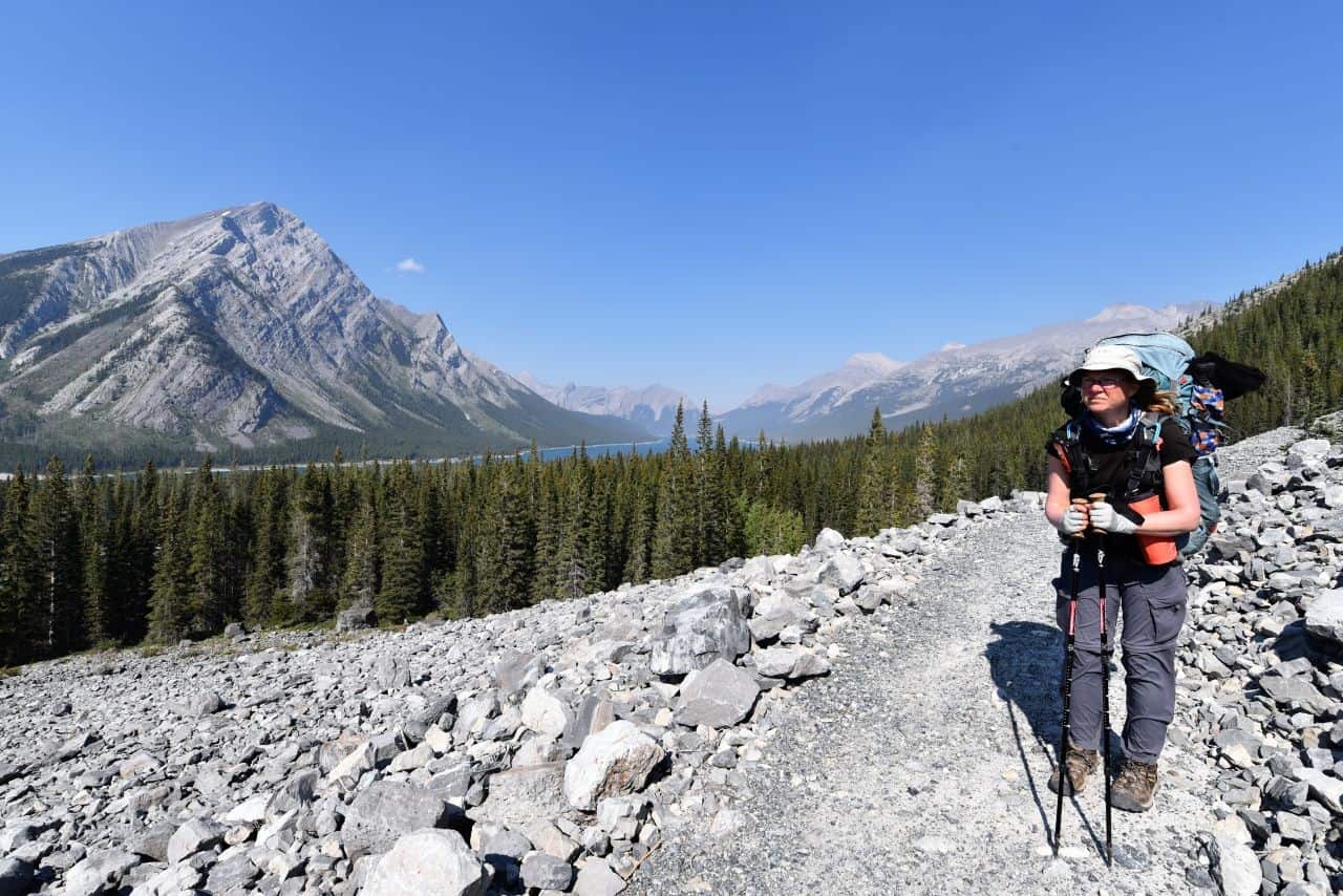
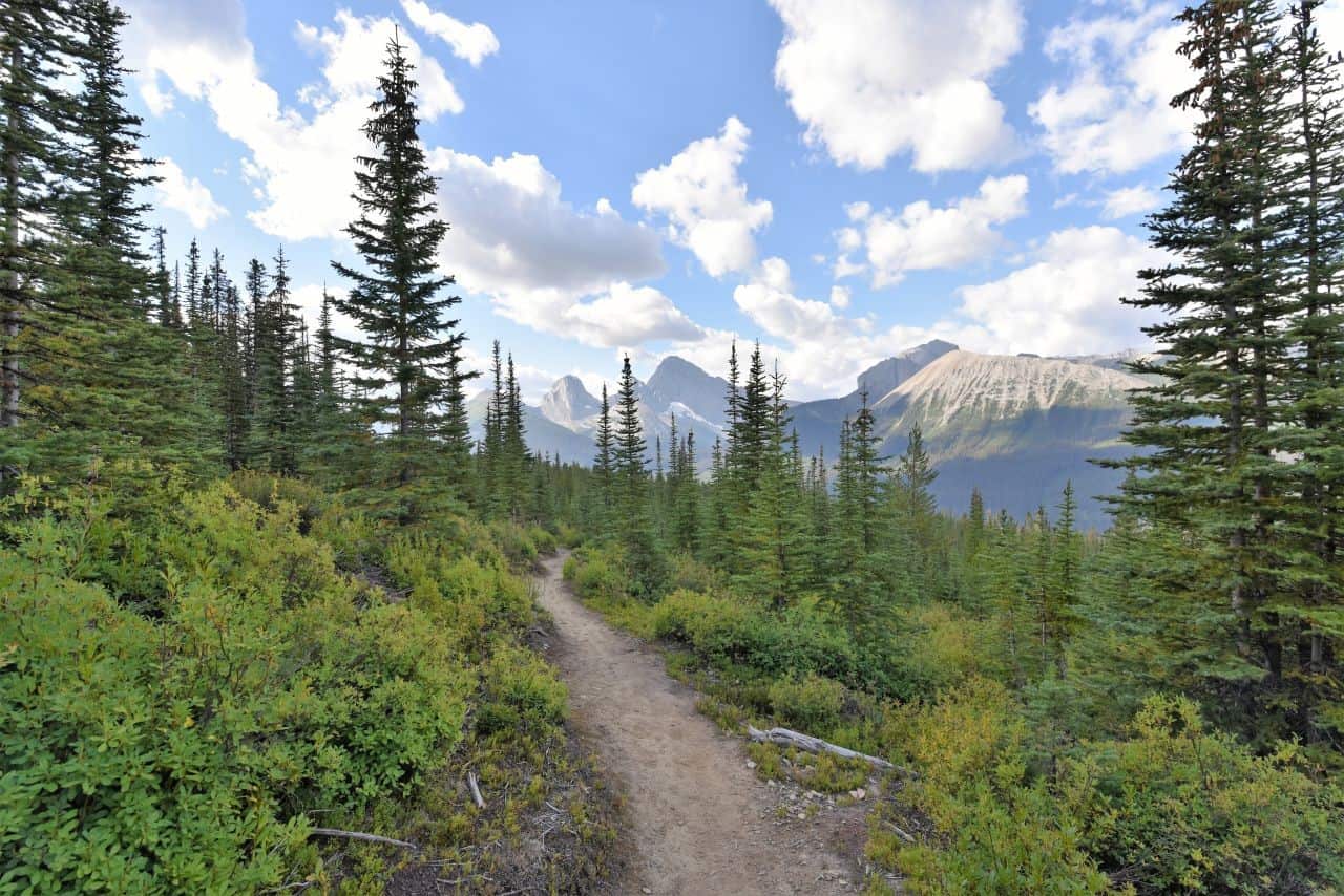
- Remote mountain trails like the High Rockies Trail in Alberta
- Snowmobile and ATV routes like Alberta's Iron Horse Trail and Newfoundland's T'Railway Trail
Unlike the Appalachian or Pacific Crest Trails, the Trans Canada Trail is not one continuous footpath or cycling route. Most visitors explore it section by section, enjoying the flexibility to hike, cycle, horseback ride, paddle, or ski depending on the region and the season.
Where Does the Trans Canada Trail Go?
The Trans Canada Trail spans the entire country as a network of connected land and water routes, linking all provinces and territories and connecting thousands of communities across Canada, including every provincial and territorial capital.
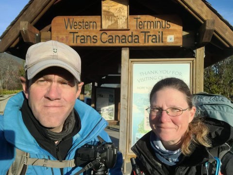
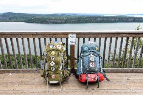
Rather than a single defined path, the trail is experienced as a series of interconnected routes that vary by region, landscape, and mode of travel. During our journey, we walked a continuous east–west route between St. John's, Newfoundland and Victoria, British Columbia, following all established trail segments and linked routes.
Along the way, additional connections extend to places like Halifax, Nova Scotia, and Windsor, Ontario, forming part of the broader national network. These southern routes are among the most developed, offering many of the trail's most accessible hiking and cycling experiences.
In contrast, northern routes extend from Fort Saskatchewan, Alberta into the Northwest Territories, reaching Tuktoyaktuk through more remote and less-developed terrain. Here, the trail becomes more rugged and variable, incorporating wilderness paths, major river systems, and long-distance travel through sparsely populated regions.
The trail also connects well-known routes such as:
The T'Railway Trail, Newfoundland
Confederation Trail, Prince Edward Island
High Rockies Trail, Alberta
Kettle Valley Rail Trail, British Columbia
Given the extent of the Trans Canada Trail network, it provides the perfect way to explore Canada, offering adventures to fit any location, activity, fitness level, budget, and timeframe.
Why Visit the Trans Canada Trail?
While the Trans Canada Trail is important at a national level, what draws most people to it is the experience itself. At its heart, the Trans Canada Trail is more than a path — it's a journey through Canada's most iconic landscapes, historic sites, and cultural communities. During our east–west hike, we realized that while it isn't a single continuous wilderness footpath, it offers experiences that capture the essence of Canada:
- History: The trail follows former rail corridors, Indigenous trade routes, fur trade waterways, Red River ox cart trails blazed by the Métis, the path of the Northwest Mounted Police during their march west, and even the footsteps of Gold Rush prospectors. Every step connects trail users to the shared histories that shaped this country.
- Local culture: Hiking or cycling the trail lets you fully engage with communities, from attending a lobster boil-up on a Newfoundland beach to experiencing an Indigenous powwow. These encounters offer insights you won't get at popular tourist attractions.
- Wildlife encounters: From Atlantic Puffin colonies off Newfoundland, to migrating shorebirds on the Bay of Fundy, beluga whales outside Tuktoyaktuk, bears in British Columbia, and Birding Hotspots in Winnipeg Manitoba, the trail provides unparalleled opportunities to see wildlife in their natural habitats.
- Diverse landscapes: Canada's scenery is breathtaking and varied — expansive prairie grasslands, endless forests of the Canadian Shield, rugged Rocky Mountain peaks, lush coastal rainforests of British Columbia, and dramatic eastern shorelines. The trail allows visitors to experience all of these landscapes firsthand.
For visitors, these experiences are central to the trail's meaning. Unlike destination-based travel, the experience is about the journey itself. Each section offers something different, making it suitable for both short trips and long-distance adventures.


How Can You Explore the Trans Canada Trail?
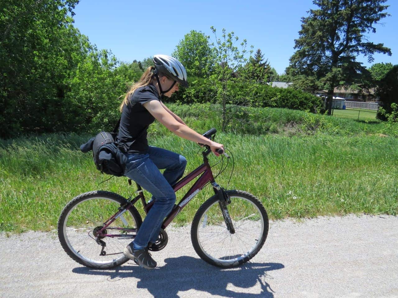
You can explore the Trans Canada Trail in ways that match your time, experience, and interests. Permitted activities including hiking, cycling, paddling, horseback riding, skiing, snowshoeing, and snowmobiling and ATV riding in designated areas.
Popular options for many people include:
- Day trips: Local walks or bike rides near your home
- Weekend trips: Rail trails or regional sections such as the Route Verte in Quebec
- Long-distance journeys: Multi-week or multi-year trips on longer sections like the Kettle Valley Rail Trail, or entire provinces.
Very few people have set out to explore as much of the trail as possible, and for those who have, it has been the trip of lifetime.
Notable journeys include:
- Dana Meise, first person to walk a continuous coast-to-coast-to-coast route along the Trans Canada Trail network
- Sarah Rose Jackson, first person to walk a continuous coast-to-coast route from west to east on the Trans Canada Trail network
- Melanie Vogel, first woman to walk a continuous coast-to-coast-to-coast route along the Trans Canada Trail network across all seasons
- Dianne Whelan, whose journey is documented in 500 Days in the Wild hiked, biked, and paddled a continuous coast-to-coast-to-coast journey across the Trans Canada Trail network, including its water routes
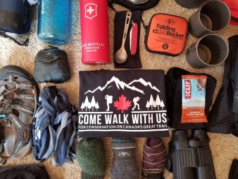
- Come Walk With Us Expedition documented the walk along a continuous coast-to-coast route on the Trans Canada Trail in daily photo blogs, while promoting Citizen Science and bird conservation.
How to Plan Your Trans Canada Trail Experience
Planning your Trans Canada Trail adventure depends on your activity, region, and time of year, but preparation is always key. Based on our experience, here are some essential tips and resources:
- Trail maps and navigation: The Trans Canada Trail website is the best starting point for route information.
- Offline Navigation: Downloading GPX or KML tracks for individual trail sections from the website and pairing them with apps like the Top Hiking Apps for Trails in Canada is essential for navigating in remote areas without cell service.
- Printed guides: Some provincial sections have guidebooks, though many are outdated. Notable resources include The Best of the Great Trail Volumes 1 & 2 by Michael Hayes and Bruce Obee's Trans Canada Trail: British Columbia.
- Travel blogs and personal accounts: Our Come Walk With Us blog documents daily stages from Cape Spear, Newfoundland, to Clover Point, Victoria, B.C., with stories, historical context, photos, and practical advice. For section-specific guidance, provincial or local trail association websites are also invaluable.
- Gear for long-distance or multi-season hikes: Planning for a long-distance trek that extends over multiple seasons and across highly varied terrain can be challenging. For detailed recommendations, see our Hiking Gear Guide Part 1: The Basics for Long-Distance Treks in Canada and Part 2: Beyond the Basics.
Even if you're just hiking short sections, reviewing maps, trail conditions, and local updates before heading out is always recommended. Preparation ensures you can focus on the landscapes, history, and cultural experiences that make the trail so memorable.
FAQs About the Trans Canada Trail
Is the Trans Canada Trail Really the Longest Trail in the World?
At over 29,000 km (18,020 mi) the Trans Canada Trail is the longest multi-use recreational trail network in the world. It spans Canada, connecting thousands of communities coast-to-coast-to-coast.
What activities are allowed on the Trans Canada Trail?
Hiking, cycling, paddling, skiing, snowshoeing, horseback riding, and snowmobiling and ATV riding in designated areas.
Can you hike the whole trail?
No. In addition to several ferry crossings, the trail includes over 6,400 km of water routes, including the Path of the Paddle and the Mackenzie River Trail that can only be completed by paddling. The land sections can technically be completed on foot, but some of them are best done during winter when the ground is frozen, and some sections are along busy highways.
What sections of the Trans Canada Trail can you cycle?
Most of the terrestrial sections can be completed by bicycle, but some footpaths like the Fundy Footpath, the East Coast Trail, and the Pukaskwa National Park sections cannot be completed by bicycle. Based on our experience, Quebec and Prince Edward Island were the best provinces for cycling, but we have also created a detailed breakdown of sections and provinces where hiking carts or bicycles can be used.
How hard is it to explore the entire Trans Canada Trail network?
Exploring the entire Trans Canada Trail network is logistically challenging because some sections can be cycled, others can be hiked, and over 6,400 km of water routes require paddling. In addition, the journey takes years on foot or by bicycle, meaning seasonal challenges like snow, extreme heat, droughts, flooding, and wildfires will become part of the experience.
Is it family-friendly?
Yes, at least partially. Many urban and rail trail sections are flat and safe for most ages and skill levels. However, remote areas may be more challenging and less suitable for families or beginners.
Are sections accessible for wheelchairs or strollers?
Some paved urban sections have been fully mapped for accessibility, whereas wilderness areas are often rugged and unsuitable for wheels.
What Is It Like to Experience the Trail Across Canada?
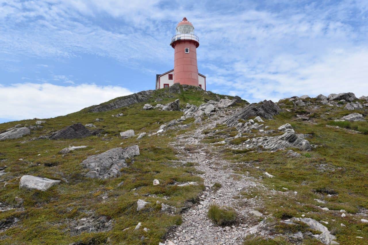
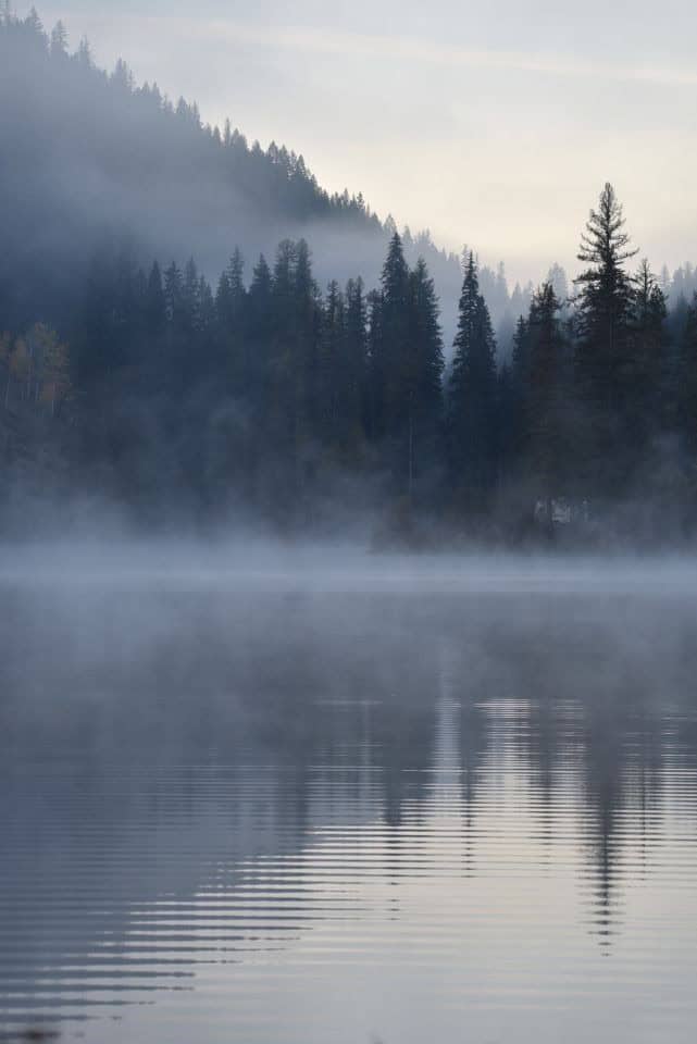
The Trans Canada Trail changes dramatically depending on where you are. In Atlantic Canada, you'll find coastal cliffs, lighthouses, and the highest tides in the world around the Bay of Fundy. In Ontario and Quebec, the trail traverses Canada's largest cities, and follows historic rail corridors across the Canadian Shield. Across the Prairies, it opens into wide grasslands and vast expanses of agricultural land, while in Alberta it climbs over the Rocky Mountains. Finally, in British Columbia it traverses six mountain ranges before entering the lush coastal rainforests.
In northern regions, distances between communities increase, and travel may depend on rivers or seasonal access. Weather also plays a major role, with conditions ranging from humid summers in the east to dry heat on the Prairies and alpine conditions in the west.
This regional variety is what makes the trail unique—it reflects Canada itself and anyone who travels its length will be forever changed by the journey.
Explore Trans Canada Trail Routes by Region
- Best Hiking Trails in Atlantic Canada
- Best Trails in Quebec Canada
- Best Trails in Ontario Canada
- Best Hikes in Manitoba Canada
- Best Hiking Trails in Saskatchewan
- Great Trails of Alberta Canada
- 5 Best Rail Trails in BC
- Best Canadian Cycling Routes
Summary
The Trans Canada Trail is a 29,000+ km multi-use recreational trail network connecting Canada's landscape, community, and history. Most people explore it in sections, enjoying hiking, cycling, paddling, or skiing. With proper planning, maps, and guidance, it offers both everyday recreation and extraordinary adventure. Walking it, even briefly, gives a sense of connection to Canada's vast geography, communities, and stories.
Travel Guide
-
British Columbia
When you subscribe to the blog, we will send you an e-mail when there are new updates on the site so you wouldn't miss them.
Comments