
Join Us
Join Us


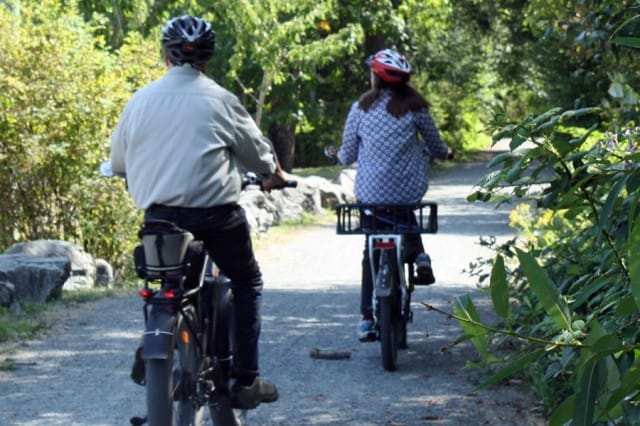
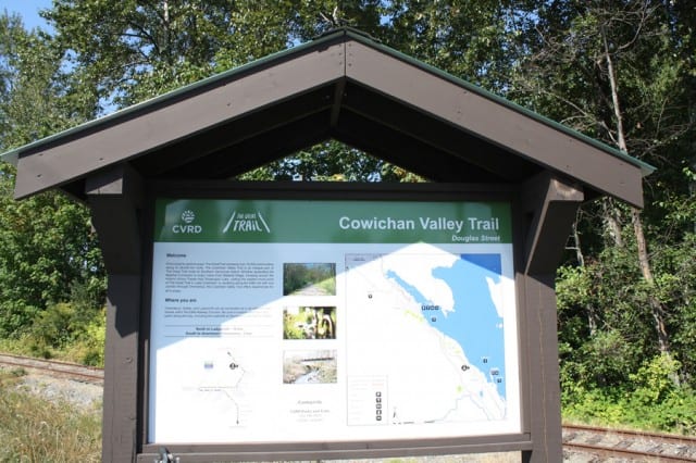
The Cowichan Valley Trail starting from the Mt. Brenton Golf Course in Chemainus, BC to Saltair BC and then to Transfer Beach Park in Ladysmith, BC is approximately 14 kilometres one-way. The biking and hiking trail is part of the Trans Canada Trail / The Great Trail in the Cowichan Valley on Vancouver Island.
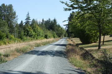
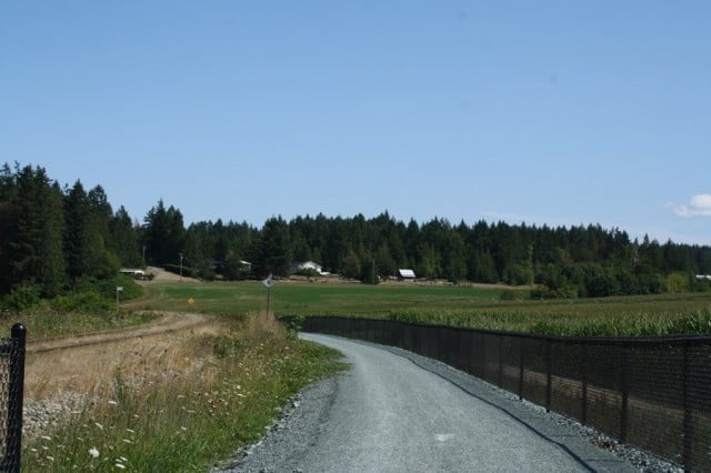
The 5 kilometre or so section of the trail from the golf course in Chemainus to South Saltair BC is an absoulte treat. The compact gravel, 3 metre-wide year-round trail follows along the same route as Chemainus Road and the railroad tracks. Yet, most of the trail, is hidden from view by the trees lining each side of the trail.
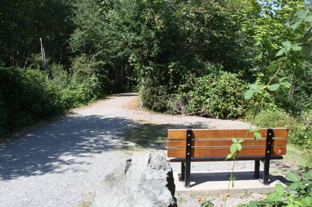
Much of the trail is under the cover of trees, therefore on the hot summer days, you are biking in and out of shade with sections of sunshine. Best of both worlds. The trail is level and generally easy going, with some slow, long rolling hills to climb. Along the trail there are few resting areas and signage is very good.
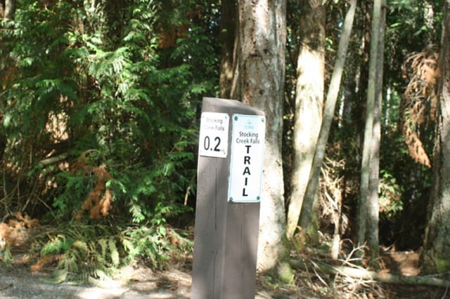
Sections of the trail from Chemainus to Saltair do cross some side-roads so to access the trail on the other side. Be aware of traffic. There is a 0.2 hiking trail along the way called "Stocking Creek Falls". Watch for the trailhead entrance on your right if you are coming from Chemainus, BC. It is a short trail leading down to a beautiful waterfall. Bring a lock to lock up your bikes so you can explore the area.
From North Saltair BC to Ladysmith there is a section of the trail which follows along Chemainus Road. Not a big deal. There is a designated bike lane which takes you to Ladysmith, BC where you can connect up with the trail again and continue to Transfer Beach Park in Ladysmith BC.
There are some 200+ kilometres of recreation trails on Vancouover Island which play a part in the 24,000 kilometre Great Trail that connects Canada from coast-to-coast-to-coast.
Address:
