Seeker Bio
Backpacking in Castle Wildland Provincial Park
Taking Adventure Travel Up a Notch
A Backpacking Getaway in Alberta Canada!
Castle Wildland Provincial Park in Alberta, Canada - Have a couple of days to spare? Looking for an adventure somewhat off the beaten track? Load up your overnight backpack and head to southern Alberta's Castle Wildland Provincial Park. Bovin Lake is a relatively long, but easy introductory hike into a wild landscape.
Trippin' into Castle Wildland Provincial Park
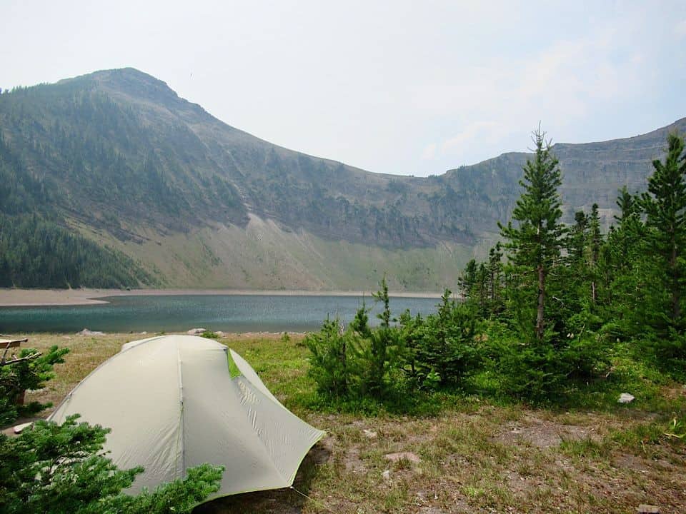
Castle Wildland Provincial Park in Alberta Canada has hundreds of potential backpacking destinations. We chose Bovin because it's a beauty of a subalpine lake tucked into a curving amphitheatre of rock cliffs with the option to explore peaks above camp. It's also a straightforward hike in with approximately 11 km in distance and only 420 metres of elevation gain.
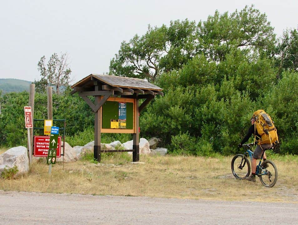
The area's moniker – wildland – might seem a bit misleading at the start. The approach includes four kilometres along a gas well road. But don't worry – the easy approach leads to an area of rugged wild lands and superlative views. Therefore we opted to speed up our travel time on the gas road and hopped on our mountain bikes.
Get Your Alberta Hike On!
Locking up the bikes off the trail in a low band of aspens after the last gas well, we set out on the wide trail dodging snowshoe hares and a grouse family. The narrow valley begged stops to scan for mountain sheep and goats, but the heat kept them hidden in the shade.
Although there was no fresh bear scat, we regularly called out "yo bear!" and "hey yo!" to announce our presence as we ambled through patches of ripe raspberries and hike-stopping, lip-smacking delicious huckleberries. Waterfalls meant more picture-taking.
And just as the hill was beginning to feel a little too long, we were at a fenced gate – the original end of the quad trail – with less than a kilometre to go on more level terrain. Picnic tables, firepits (which would sit unused due to the current fire ban) and a composting toilet were a welcome surprise when we reached the lake.
Backcountry tent camping is allowed within Castle Wildland Provincial Park. Camping permits are not required at this time. Checking potential tent sites, we discovered another lone backpacker tucked around the corner in a grove of trees. Busy place ;)
Peak Bagging
We'd originally planned to do a short circuit the following day, climbing up to West Drywood ridge and summiting "Little Bo-Peak" and "Little Bo-Blue" – a lot of fun in those names! – but Loaf Mountain caught our gaze. Loaf is the highest point in the area and with only 570 m in elevation gain over 4.3 kilometres (one-way) from our lakeside camp, it was an easy winner.
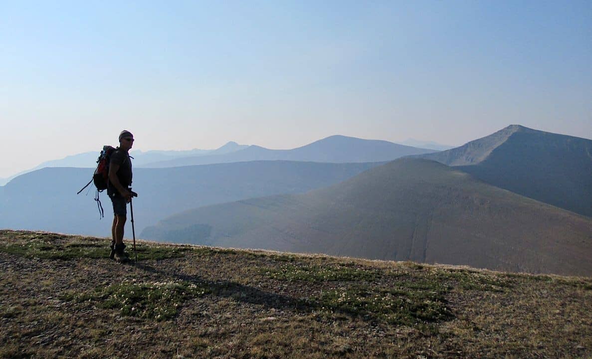
On the trail before 7:30 a.m., we followed an old seismic line (used for oil and gas exploration) up through a larch forest and out onto the alpine col between Little Bo-Blue and Loaf Mountain. We were gob-smacked by the view even though it was hazy with smoke from distant forest fires.
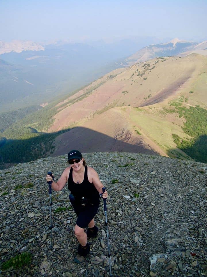
From the col the route climbed steeply up to a subpeak of Loaf. The loose shale promised a fun slide back down. For now, it was one step after another. The sun began to poke out from behind the peak and the temperature climbed. Views kept expanding as we climbed level after level. On a clear day, we could have seen distinct peaks in Waterton Lakes National Park. Today they were artistic silhouettes.
Summit Smiles
It took just under two hours to reach the summit. After soaking up the views, we wrote a comment – "Not a bad way to spend our 37th wedding anniversary" – and added our names in the register safely tucked in the hot pink metal box stowed in the summit cairn. We snapped a pic of the green plastic "Hulk" toy – found in the register box - against the mountain backdrop and held up the "All Blacks" flag also left in the box by a fellow hiker from Rotorua, New Zealand during his summit a few days before us.
When You Go
Castle Wildland Provincial Park – a separate entity from the nearby Castle Provincial Park – extends all the way from the Crowsnest Pass down to Waterton Lakes National Park along the Canadian Rocky Mountains.
To access Bovin Lake, we used our copy of Popular Day Hikes: The Castle and Crowsnest, by Andrew Nugara. The trailhead is located off the Waterton Shell Complex roads south of Pincher Creek. Nugara's guidebook gives turn by turn directions. You can also check out the Castle Provincial Park and Wildland Provincial Park Summer Brochure and Map for an overview of the area.
Hike on!
Castle Wildland Provincial Park Adventure Seekers
When you subscribe to the blog, we will send you an e-mail when there are new updates on the site so you wouldn't miss them.


Comments 4
Great read! Love this area
Great blog post and beautiful pictures! blush)
Happy 37th anniversary! Great post!
Absolutely a great story Megan Kopp . Congrats!