Stewart Canyon

Park Amenities:
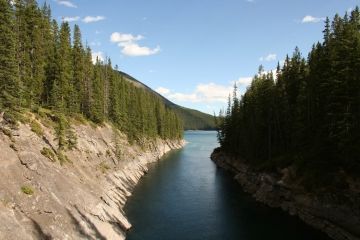
Stewart Canyon Trail is situated in the Lake Minnewanka region of the Banff National Park located northeast of Banff, Alberta, Canada. The Stewart Canyon Trail leads to a secluded, deep gorge canyon with white water rapids, polished boulders and high canyon walls.
 The Stewart Canyon Trail follows the banks of the Cascade River most of the way. Along the route are peek-a-boo lookouts and viewpoints of the river and of Lake Minnewanka.
To access the trailhead to the Stewart Canyon Trail one follows a paved pathway in the Lake Minnewanka day use area passing by picnic tables, picnic shelters and the Lake Minnewanka docks. Where the trail turns gravel at the far end of the grass lawns there is a trailhead entrance with information signs.
From the trailhead the Stewart Canyon Trail measures 0.8 kilometres one way. Return trip is 1.6 kilometres. The trail starts out as a well maintained, wide hiking trail with views of Lake Minnewanka but soon later the conditions deteriorate and the trail becomes more of a single-track, rough and rugged wilderness pathway exploring through a forest and along cliffs.
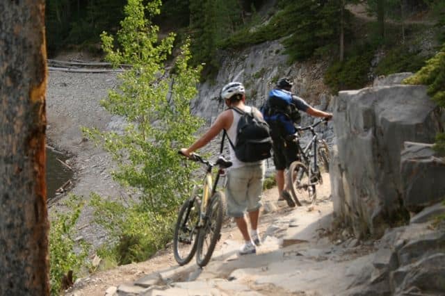
This Banff National Park trail follows many different surfaces. The trail starts off by following an easy-going, level and wide dirt and earthy path. The middle part of the route consists of a single track trail hiking up and over and around boulders and exposed tree roots and rocks. And the final section of the trail follows along cliffs while hiking under a canopy of trees until you reach the gorge.
Once at the canyon the trail descends down into the gorge. The river bed consists of massive boulders and polished rocks. Watch your footing. During the spring the river water is high and rapids can be dangerous.
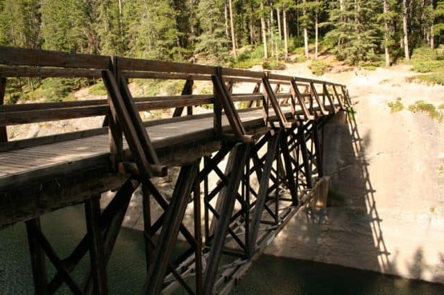
Highlights enjoyed while exploring on the Stewart Canyon Trail include the wooden trestle bridge crossing the Cascade River, the boulder hiking, the song birds in the trees and the deep, private canyon gorge located at the end of the trail.
Other hiking and backpacking trails accessed from the Stewart Canyon Trail include the wilderness campsites Lm. 8 and Lm. 9., Aylmer Lookout (11.6 km), Aylmer Pass (13.3 km), Carrot Creek (25 km) and Devil's Gap (30 km).
Address:


