
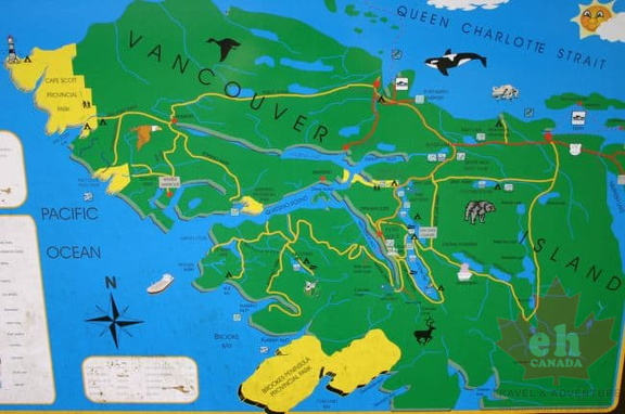
 North Island Map
2169 osumat
Map of communities and waterways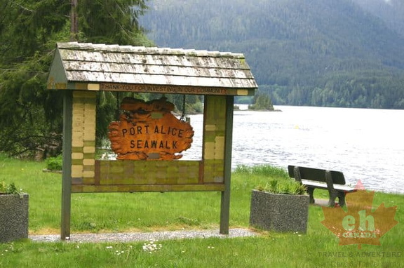 Seawalk
1954 osumat
Waterfront park and walkway Waterfront pathway and park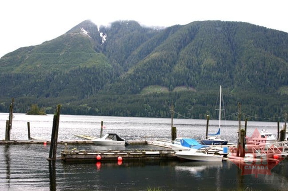 Sailing and Boating
2061 osumat
Marina in village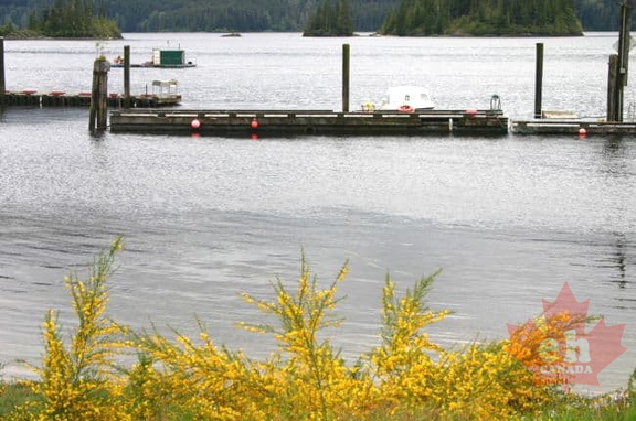 Local Docks
1843 osumat
Docks for moorage Moorage in village Totem Pole
2317 osumat
Forst Nation art First Nation art in community Welcome Sign
3095 osumat
Highway entrance Entrance from Highway 19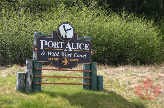 Welcome Sign
2057 osumat
Entrance sign to village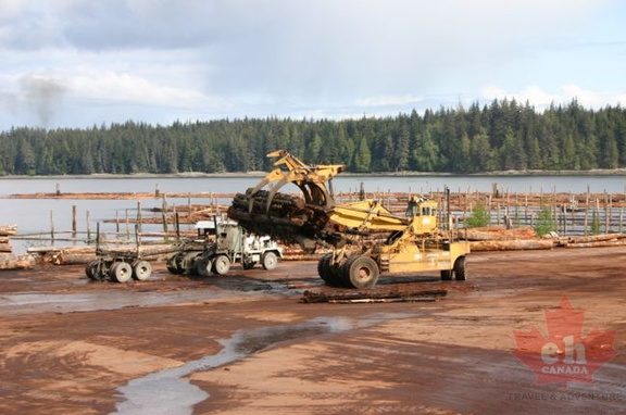 Log Sorting Mill
2250 osumat
Forestry industry Forestry operation on waterfront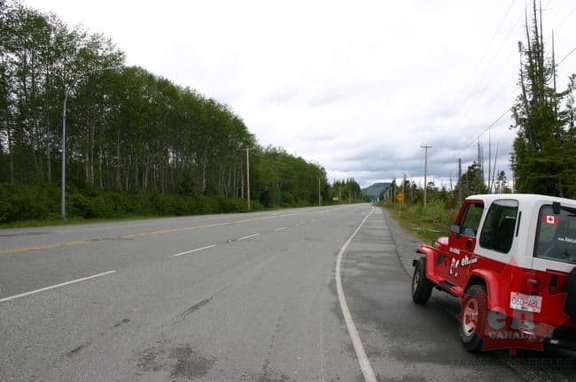 Highway 19
2127 osumat
Researching the region Researching in and around McNeill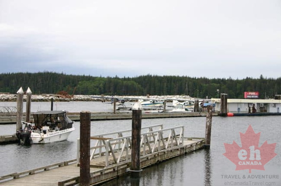 Pier
Pier
2178 osumat
Marina docks and station Docks in harbour on waterfront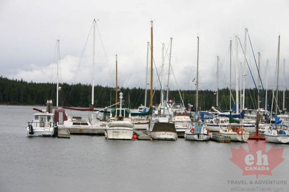 Sailing
2275 osumat
Docked in marina Marina in the harbour Forest Road Signs
2457 osumat
Recreation sites Forestry sites on gravel roads Downtown
2953 osumat
Shops in the village Services in the Village of Port McNeill Bald Eagles
1913 osumat
Diving for food Birdwatching in Port McNeill Totem Pole
1931 osumat
First Nation Art First Nation art