Canada Gallery / British Columbia / Okanagan Valley photo gallery - British Columbia, Canada travel, tourism / Rock Creek, Beaverdell, Bridesville 50
South Okanagan Boundary Communities South Okanagan Valley Boundary

 Road Sign
1561 hits
Directional signs to the park. Roads Sign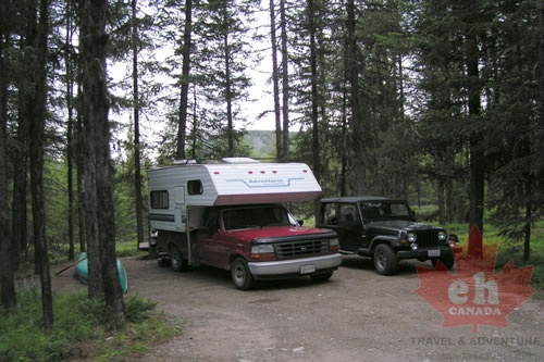 Campground
2186 hits
Wilderness camping in the park Camping in the park.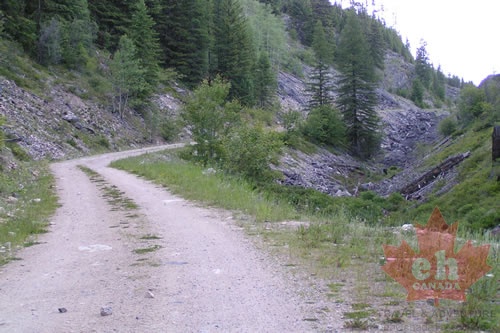 Forestry Roads
1599 hits
Gravel roads leading to the remote park. Gravel roads to the park.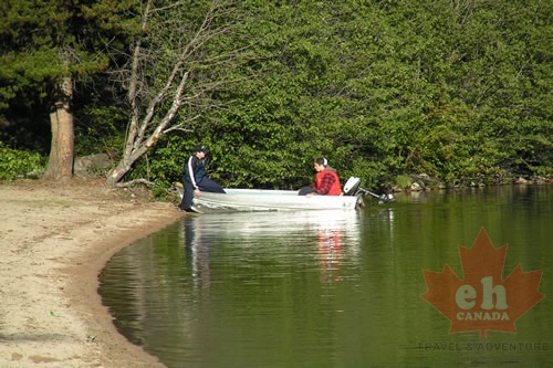 Boating
1569 hits
Fishing on Conkle Lake Boating in the park.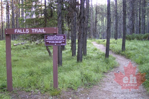 Falls Trail
1640 hits
Hiking trail starting in the park. Falls Trail in the park.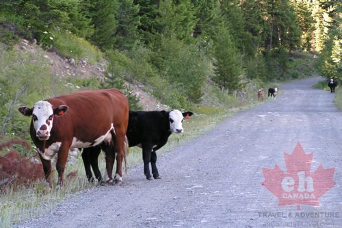 Free Range Cows
1259 hits
Backcountry gravel roads often shared with livestock Forestry Roads lead to park.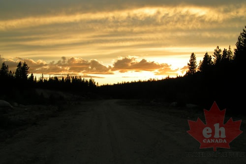 Highland Sunset
1447 hits
Rainbow yellow colors Photo moment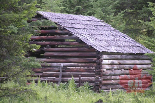 Homestead filled with History
1448 hits
Log homes from the past History homestead Sunflowers
1449 hits
Bridesville colors Sunflower fields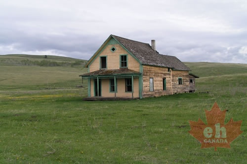 Old Farm House
1764 hits
Farmers fields history Farm house history.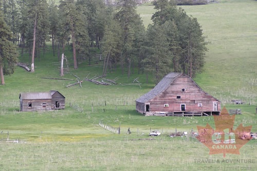 Bridesville Farm House
1606 hits
Abandoned farm house in the fields Hay fields and farm houses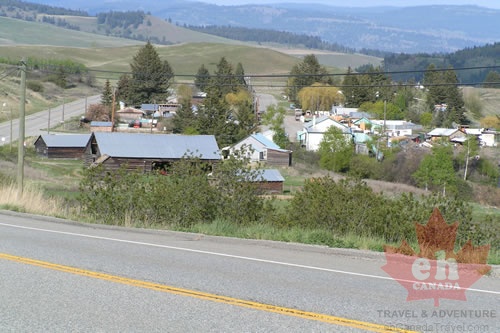 Bridesville, BC
2190 hits
Views of the community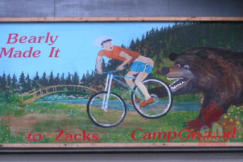 Town Murals
1551 hits
Beaverdell art on buildings Mural paintings in buildings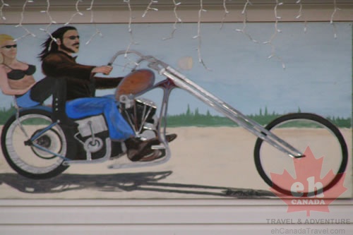 Murals
1383 hits
Beaverdell art on buildings Murals on the buildings in the town of Beaverdell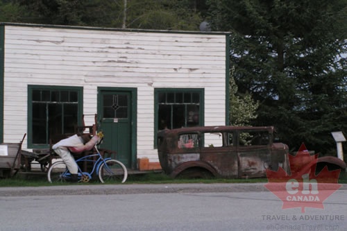 Bikes and Cars
1646 hits
Beaverdell buildings Stuff in Beaverdell