Canada Gallery / British Columbia / Kootenays photo gallery - British Columbia, Canada travel, tourism / Cranbrook 38
East Kootenay Community Community of Cranbrook, BC, Canada
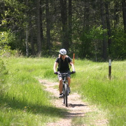
Community Forest
20 photos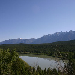
Koocanusa Lake
5 photos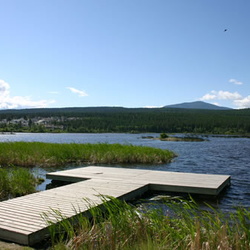
Elizabeth Lake Sanctuary
13 photos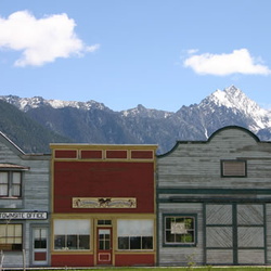
Fort Steele Heritage Town
47 photos
Horseshoe Lake
20 photos
Idlewild Park
16 photos
Isador Canyon Trail
7 photos
Jimsmith Lake Provincial Park
9 photos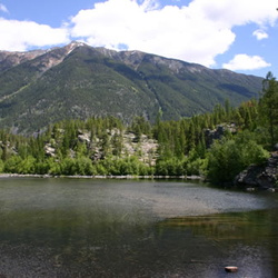
Lakit Lake
10 photos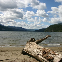
Moyie Lake Provincial Park
11 photos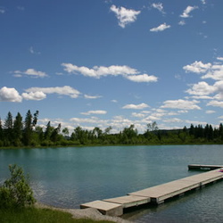
Norbury Lake Provincial Park
12 photos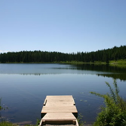
North Star Lake
11 photos

 Welcome Sign
 Wasa Slough Wildlife Reserve
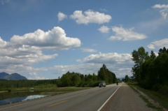 Wasa Slough Wildlife Reserve
 Wasa Slough Wildlfie Reserve
 Fisher Mtn.
 Mount Fisher
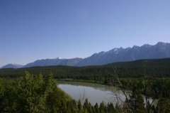 Kootenay River Valley
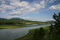 Kootenay River
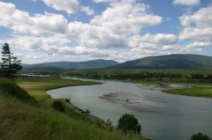 Kootenay River
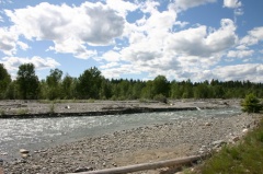 Creek
Creek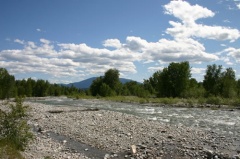 Creek
Creek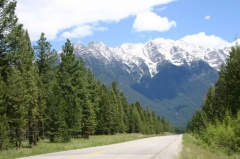 Highway #93/95
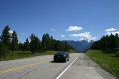 Highway Driving
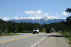 Hwy #93
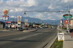 Hwy #3