Etusivu / British Columbia 9948

 Distance Sign
1450 osumat
10 kilometres from ferry to village South Bay
1553 osumat
Island in the far off distance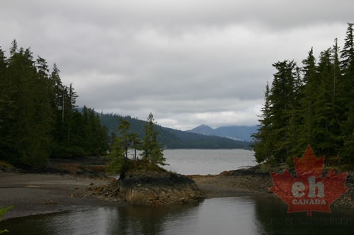 South Bay
1576 osumat
Secluded bay with islands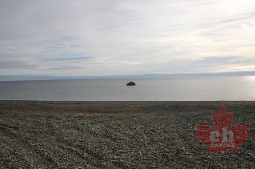 Shell Beach
1547 osumat
Exposed boulder off in the distance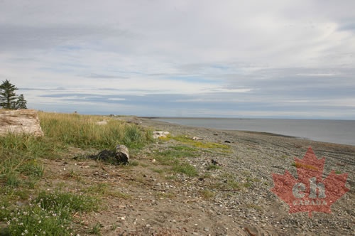 Shell Beach
1630 osumat
Long sandy beach behind the community on east side of island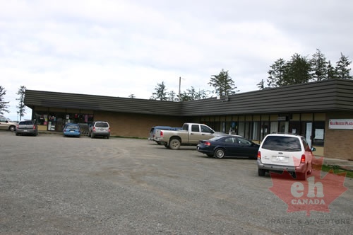 Retail Plaza
1615 osumat
Stores and shopping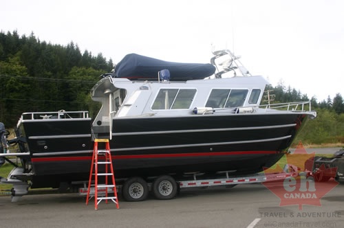 Boat Getting Some Work
1490 osumat
Checking it all out near the marina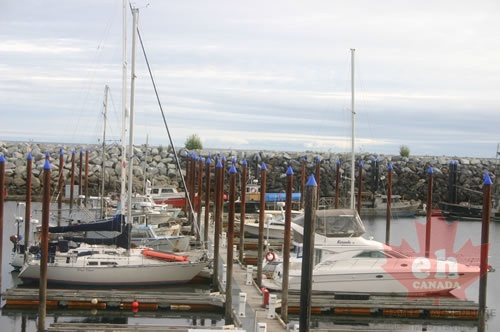 Recreation Boats
1561 osumat
Sailboats and yachts in local marina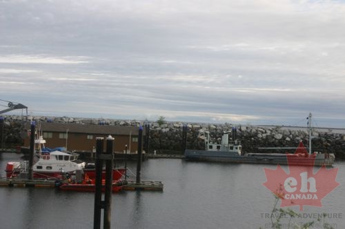 Boats
Boats
2041 osumat
Large boats moored at local pier Circle Route Map
1607 osumat
Roads connecting loop route with ocean bays, lakes and hikes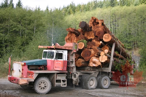 Logging Truck
2209 osumat
Gravel roads are active logging roads.. keep your head up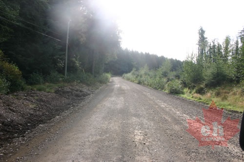 Backcountry Gravel Roads
1507 osumat
Gravel roads part of island circle route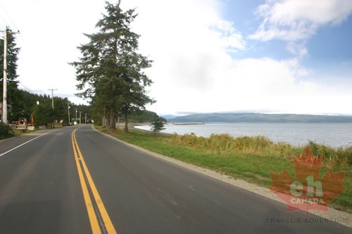 Coastline Highway
1539 osumat
Main road follows the coastline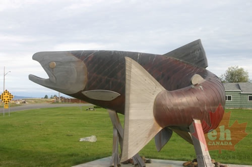 Fish on the Waterfront
1518 osumat
Large fish art near local airport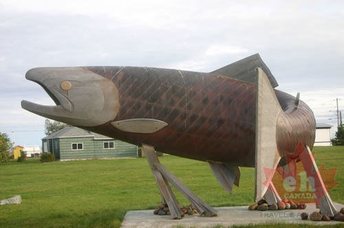 Fish Statue
1639 osumat
Popular landmark of the Sandspit Community