Canada Gallery / British Columbia / Whistler Region photo gallery - British Columbia, Canada / Whistler / Whistler Interpretive Forest 25

 Cheakamus River
 Hiking Trail
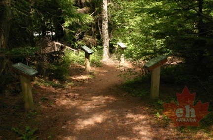 Interpretive Trail
 Interpretive Signs
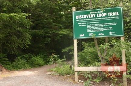 Trailhead Signs
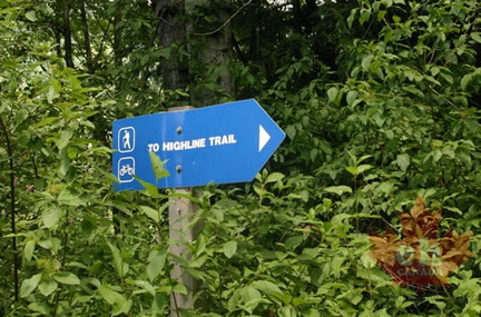 Blue Signs
 Westside Main
 Mountain Views
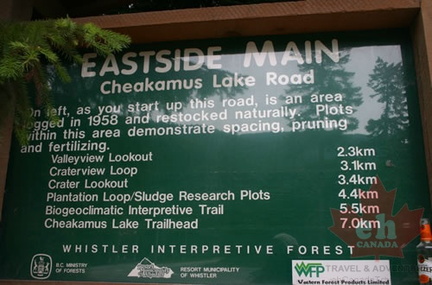 Info Signs
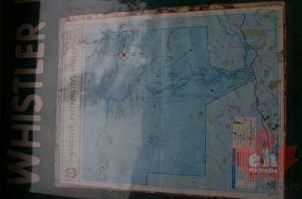 Trail System Maps