Canada Gallery / British Columbia / Whistler Region photo gallery - British Columbia, Canada / Whistler / Whistler Interpretive Forest 25

 Cheakamus River
2564 hits
Riverside trail follows the crashing river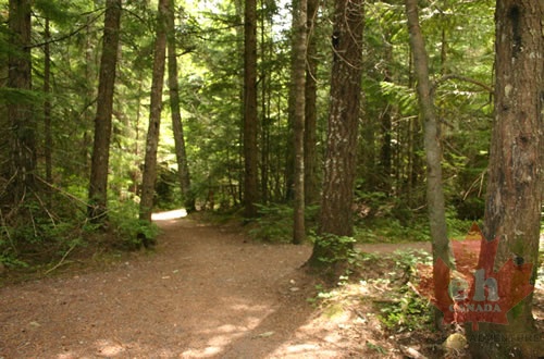 Hiking Trail
2002 hits
Trail wanders the forest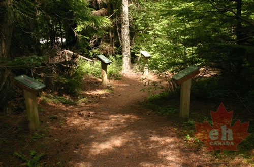 Interpretive Trail
2021 hits
Along trail are many signs outlining local fauna and flora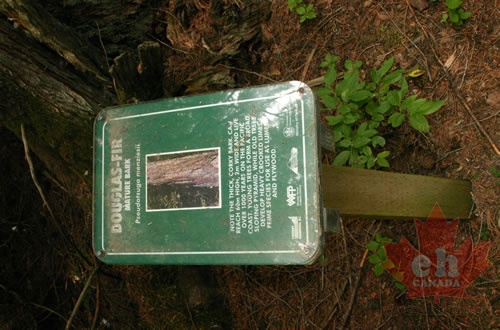 Interpretive Signs
1977 hits
Signs with detail information of local forest Trailhead Signs
1813 hits
Trail information at entrance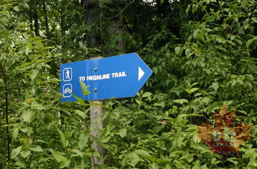 Blue Signs
1758 hits
Trailhead signs located all along gravel road leading to trails Westside Main
1707 hits
Information on the landscape located on side of gravel road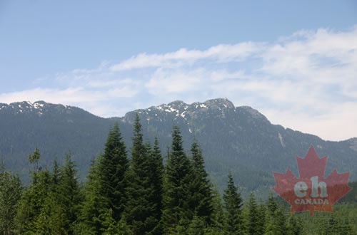 Mountain Views
1748 hits
Great view from gravel roads leading to hikes Info Signs
1871 hits
Eastside Main Trail Distances in main parking lot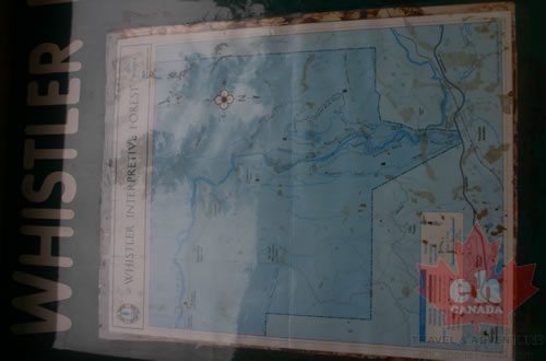 Trail System Maps
1807 hits
Whistler Interpretive Forest trail distances