


Join Us
Join Us


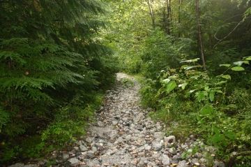
Snooka Creek Trail in Bella Coola, British Columbia, Canada in the Central Coast Region is a series of three hiking trails located in between the community of Bella Coola and the Village of Hagensborg, British Columbia, Canada.
The three trails provide different levels of hiking difficulty and variations in the wilderness scenery. The shortest of the three trails is the South Loop Trail. Starting from the main parking lot the South Loop Trail is a a relatively easy grade 1.7 kilometre route climbing 50 metres in elevation. The trail explores, mostly, second growth forest before ending up at Snooka Creek. A good place for a picnic before heading back down the loop route to the parking lot.
The East Loop Trail is an easy grade hiking and mountain biking circle route covering 5.5 kilometres with only a 50 metre elevation gain. The trail starts from the south loop and continues through some private land and then explores through some second growth trees. Be respectful and stay on the path while traveling through the private land.
The West Trail is the hardest of the three routes with an elevation gain of 500 metres covering over 3.8 kilometres one way. The trail leads to a lookout with views of Bentinck Arm and the community of Bella Coola. From the viewpoint one can also point out Thorsen Creek and the location of some First Nation pictographs. Horses use some portions of this trail.
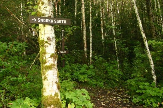
From the main parking lot area all three trails begin. In the parking lot is a sign board with specifics on each trail and a trail map indicating the routes. Also in the trees near the South Loop Trail entrance is a pit toilet.
Address:
