Slow Travel, Conservation, and Birdwatching Best Practices Across Canada Simple, ethical birding practices for low-impact wildlife travel across Canada A Guide to Respectful Birding Etiquette in Canada is essential readi...
Why VIA Rail's The Canadian in Winter Is Canada's Ultimate Slow Train Adventure Discover the Magic of Canada's Winter Landscapes on a Five-Day Cross-Country Rail Journey Riding VIA Rail's The Canadian in Winter: Tor...
Why eh Canada Travel Is Canada's Go-To Adventure Planning Website Where Canadian Stories, Practical Planning, and Real Adventure Come Together What Makes eh Canada Travel the Best Adventure Planning Website in Canada - F...

 Howe Creek Trail

Print
howe_creek_trail02
Terrace

British Columbia
Canada

Trail Length: 2.5 kilometre

Difficulty: Easy - Family
Park Amenities:
Sightseeing
Walking


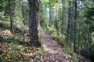
Howe Creek Trail in Terrace, British Columbia, Canada is an easy grade walking route wandering among a forest of trees, exploring alongside a creek while experiencing the side streets of the community.

The 2.5 kilometre Howe Creek Trail follows a hard pack dirt and grave path. It is flat and suitable for all fitness levels and ability. The trail should not take longer then 45 minutes to explore.

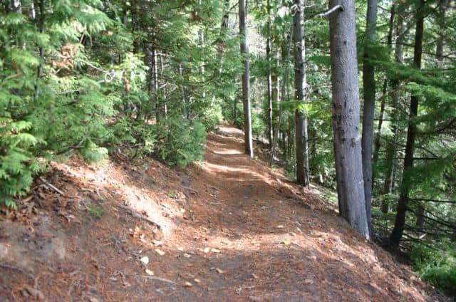
Most begin the trail at Christy Park on Sparks Street near the soccer fields. Start behind the brick clubhouse and start walking till you have crossed over the creek twice leading to a fork in the path.

At the fork in the road keep left and continue walking till you reach the fish hatchery on Eby Road at the north end. Just up the street on the right side the trail continues near a fire hydrant.

You will then past by bridges crossing the creek accessing some of the side streets in the residential area. These are all access points to and from the trail... so, you can cut your walk short anytime.

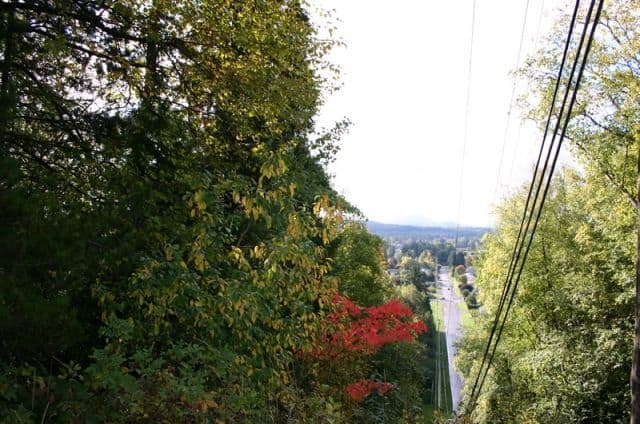
From the north trail head of the Howe Creek Trail it is only a short walk further to the Terrace Mountain Trail and the Heritage Walking Tour Trail.

Explore on the Howe Creek Trail in Terrace, British Columbia, Canada


Address:

Howe Creek Trail
Bailey Street
Terrace
Canada

How To Get ToHowe Creek Trail

:
(west entrance) From Hwy 16 take Kenney Street north onto Lanfear Hill Drive. Follow Lanfear until you take a left on McConnell Ave and then another left on Bailey Street. At the end of Bailey is the trailhead.

(north entrance) From Hwy 16 take Eby Road and travel north until you take a right on McConnell Ave. Continue down this street until you turn left onto Sparks Street. Look for the school, soccer fields and clubhouse on your left.
No reviews yet for Howe Creek Trail.
© 2026 Eh Canada Marketing Group
Cron Job Starts