Seeker Bio
Driving the Coquihalla Highway
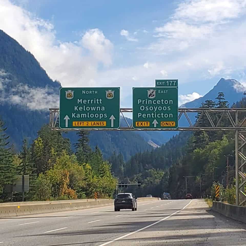
The Coquihalla Hwy connects Hope with Merritt BC
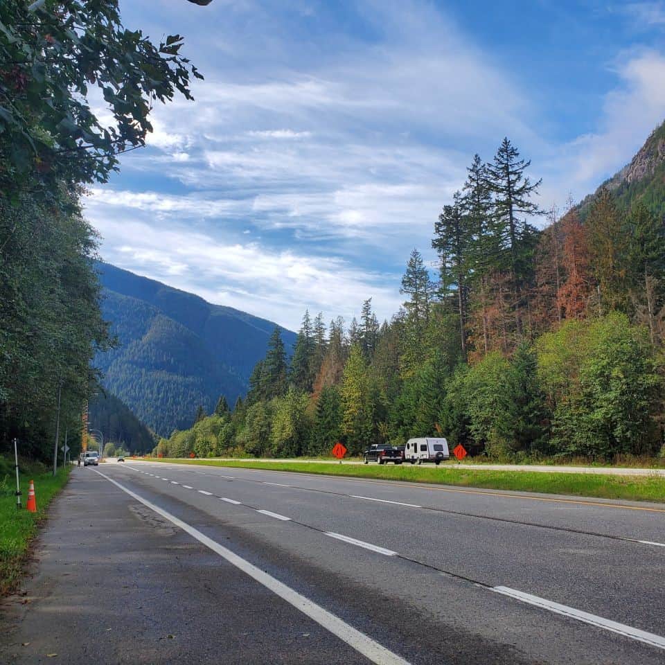
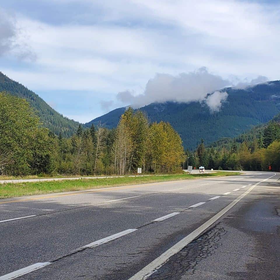
Nicknamed the Highway Thru Hell - travel mountainous terrain for 110 kilometres in British Columbia Canada
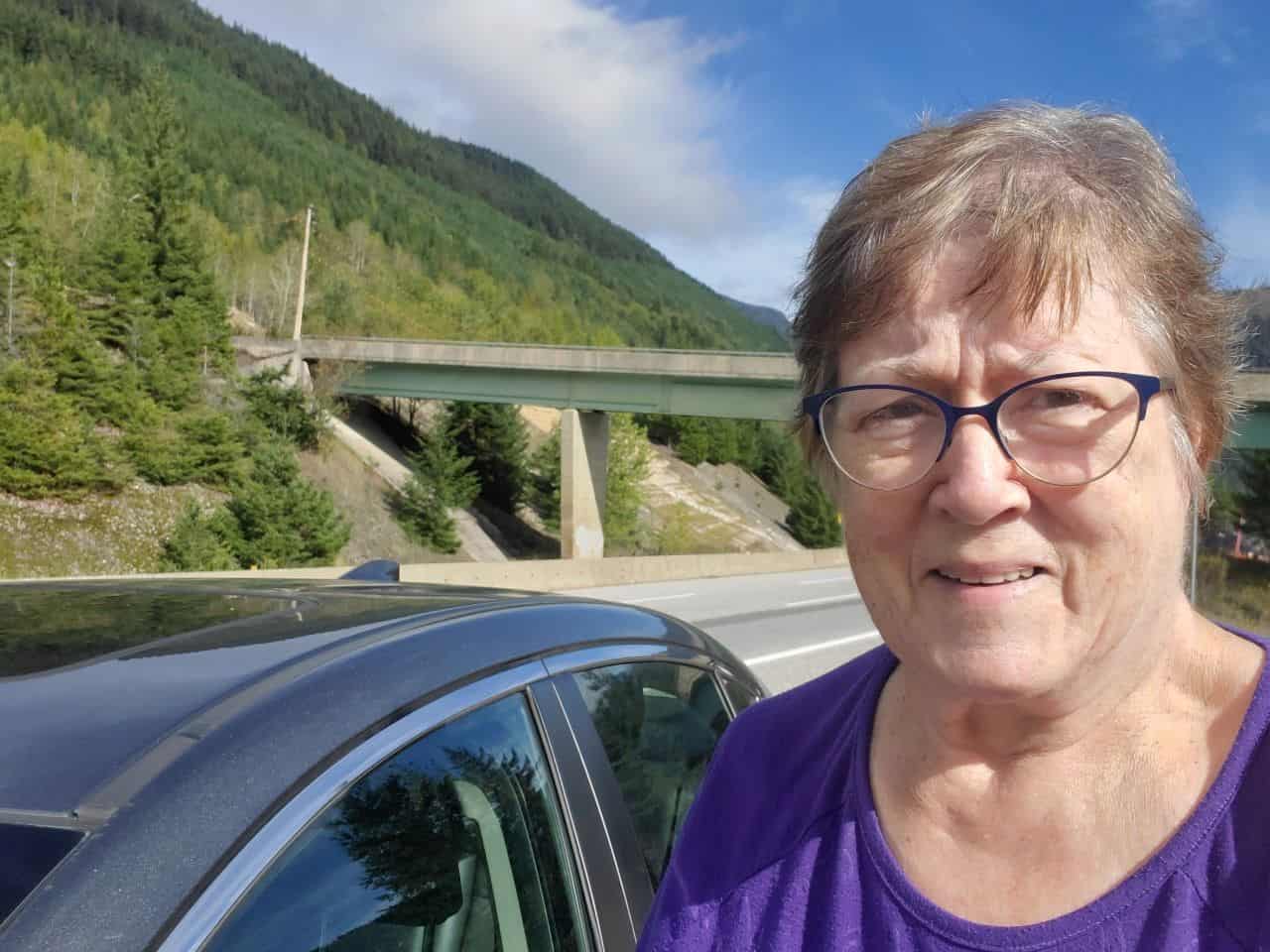
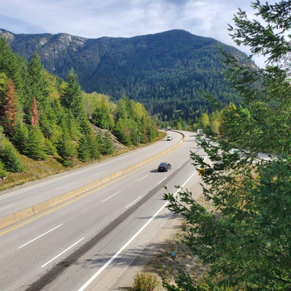
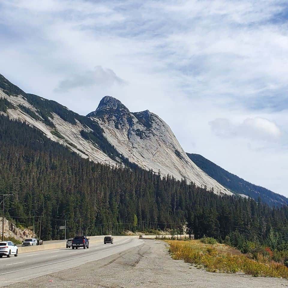
Driving the Coquihalla Highway does not have to be stressful. As a matter of fact, with a little planning, you can have a relaxing and enjoyable trip. This is a chance to drive the British Columbia wilderness through mountainous terrain. Certainly, it seems unusual to be on a stretch of highway with no homes off in the distance, no place to buy gas, no side roads connecting to little communities. This highway was built roughly following the route of the old Kettle Valley Railway, which was not used after 1958. It navigates its way around and over the North Cascades. The mountain pass is called the Coquihalla Summit.
Driving Rule No. 1
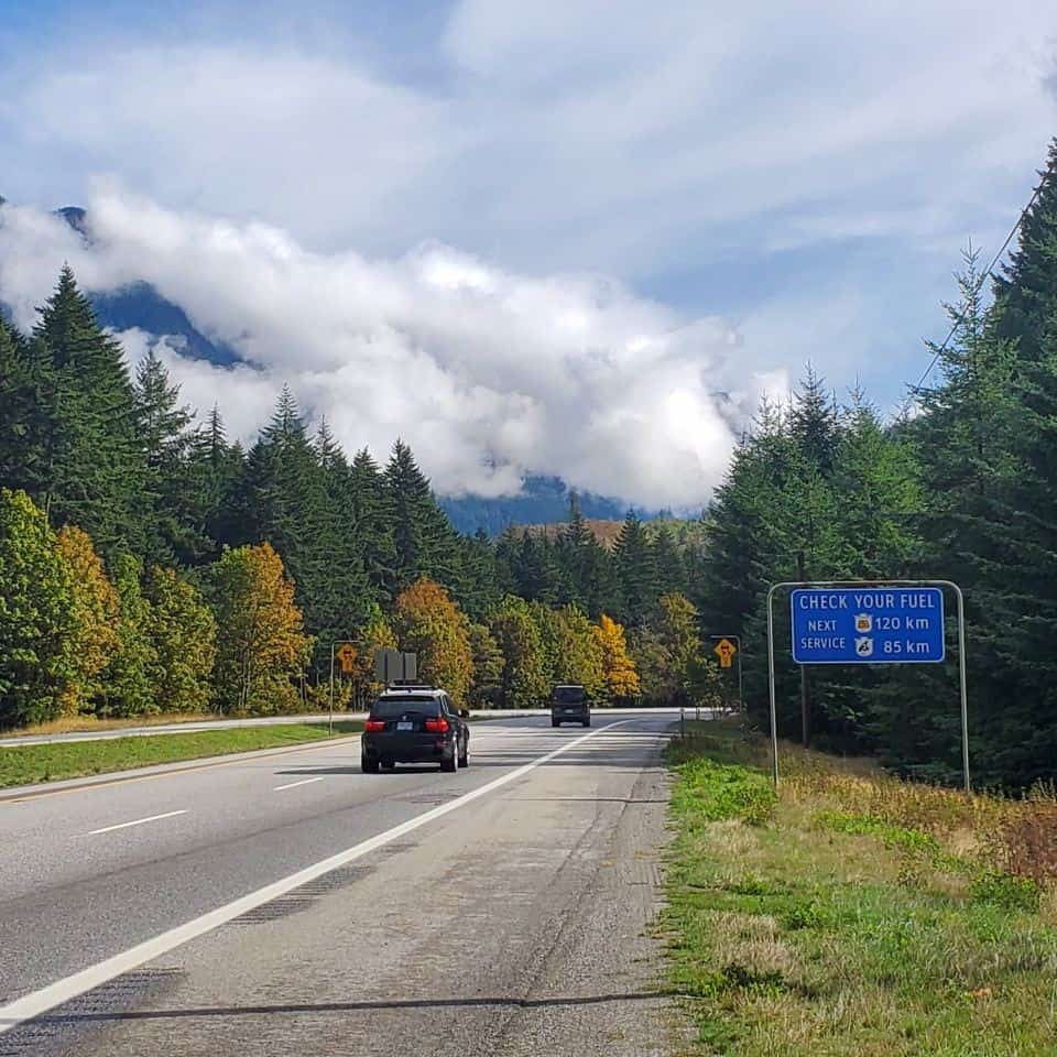
Always fill your gas tank, or have your battery fully charged, before driving the Coquihalla Highway.
History of the Coquihalla Highway.
The Coquihalla Highway was constructed in three phases. Specifically, the section I'm driving here, from Hope to Merritt, known as Phase 1, was completed in 1986. The cost for this section seems a bargain at today's prices. It cost a mere $848 million. The first commercial truck driven over the Coquihalla Highway after the opening ceremonies was an Inland Freight truck, a 1936 Indiana Model 89, which can now be seen at the B.C. Truck Museum in Surrey, B.C.
Driving the Coquihalla Highway Bridges and Overpasses
When Phase 1 was completed in 1986, it included 31 bridges and underpasses. In November 2021, a major storm with heavy rain badly damaged the highway. Due to this storm, there were large washouts and a number of bridges lost as a result. For this reason the highway was closed entirely for over a month. It first opened only to essential traffic. Reconstruction took months and is now fully reopened.
Opportunity for a U-Turn
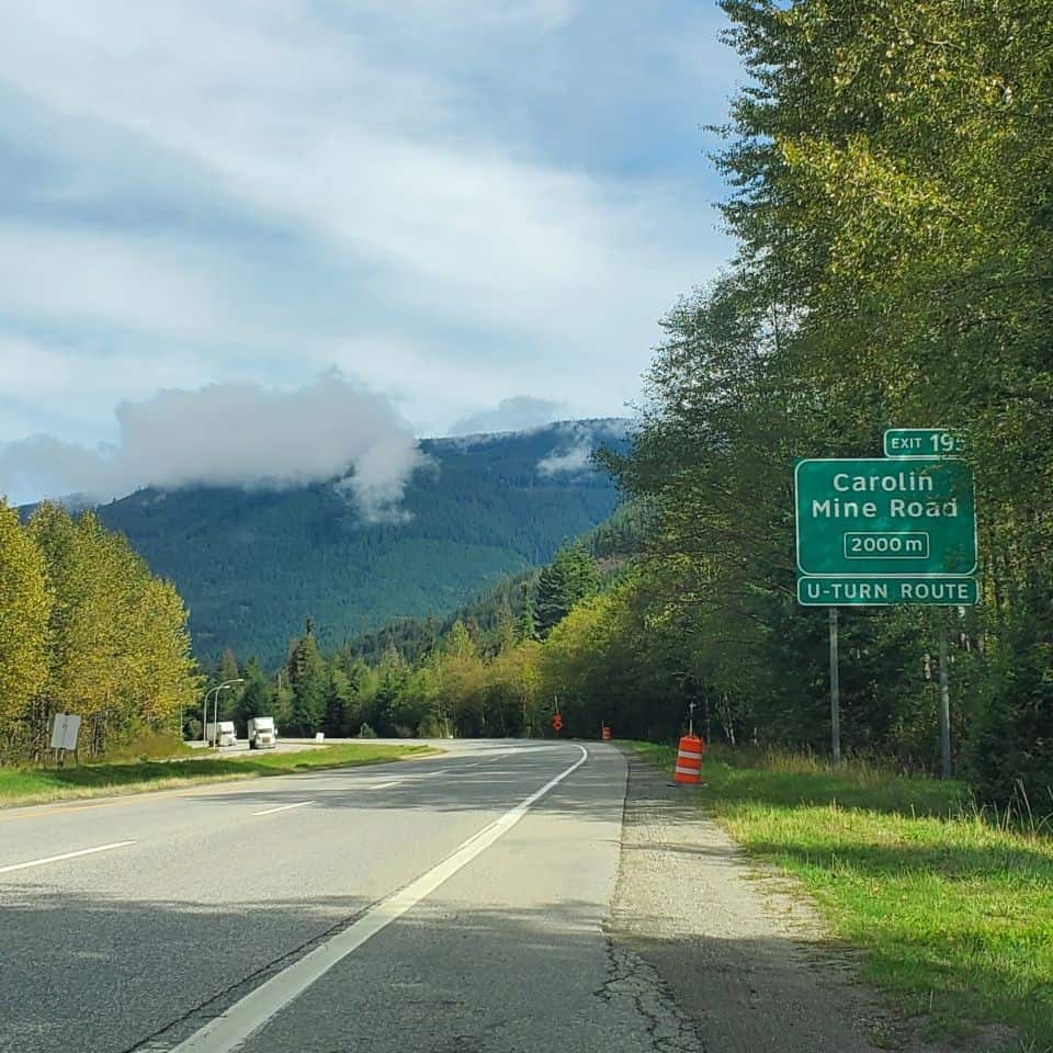
Once you are on the Coquihalla Highway (Highway 5), there are no options except to continue on for many kilometres. However, there are several spots where you can exit, take an underpass, and access the road which will take you in the opposite direction. In the picture below, you will see the Carolin Mine Road offers such a U-Turn opportunity.
Avalanches and Winter Driving
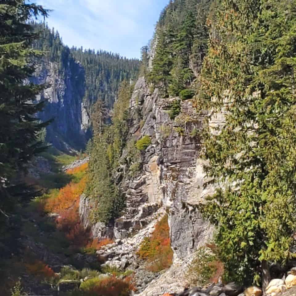
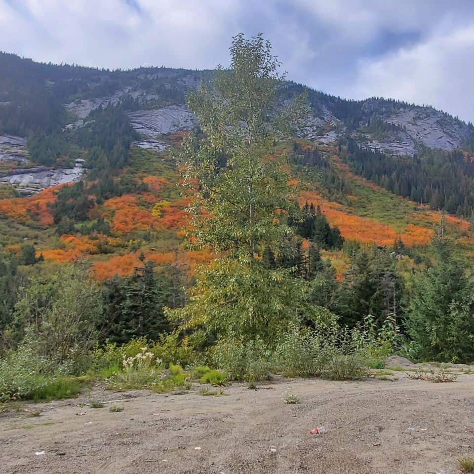
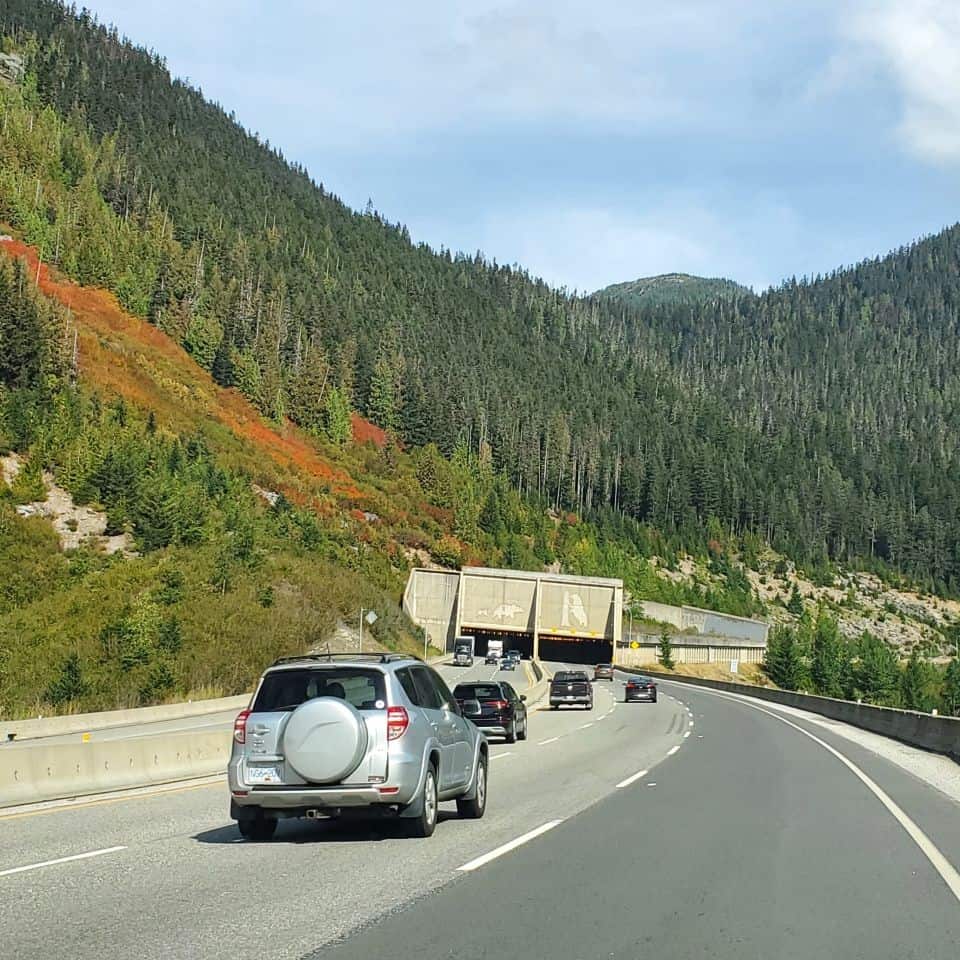
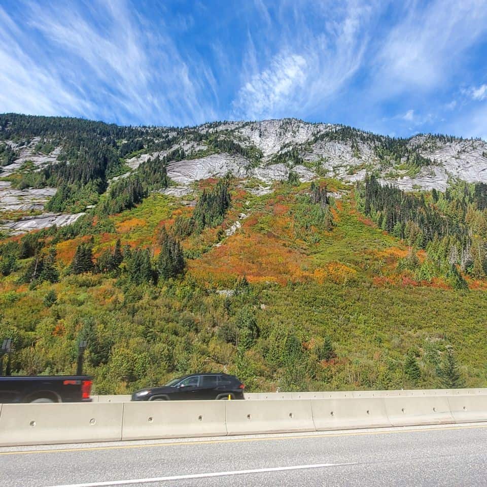
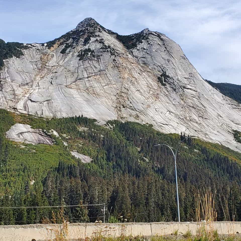
Driving the Coquihalla Highway in the winter is the stuff stories are made of. As a matter of fact, there is a reality series, Highway Thru Hell, about towing companies operating on this highway. Their challenge is to keep the roads passable in brutal winter conditions. For the purpose of maintaining an open highway, a snow tunnel protects the road at a point particularly prone to avalanches. When an avalanche rushes down the mountain side, it takes out all trees in its path. Then the area begins to regrow, first with tiny shrubs. Consequently, this makes for some spectacular autumn scenes as these leafed shrubs turn red, yellow or orange.
Driving Rule No. 2
Winter tires or chains are mandatory from October 1st to April 30th on the Coquihalla (Highway 5).
Safety in the Winter
I have driven the Coq (pronounced The Coke) many times in the winter and always without mishaps. When you consider that the entire stretch of highway between Hope and Merritt is 110 km, even with winter driving, it should not take you much longer than an hour to complete it. Because of BC Highway Cams at several spots along the Coquihalla (Highway 5), you can check these before setting out. It's also advisable to check the weather report as well. You can see precisely what is happening at these locations. And you know the forecast. Therefore, you really can proceed with relative confidence. Commercial vehicles don't always have this same options about driving or delaying the trip for a day or two. They can easily enter into winter conditions that take a turn for the worse. Because of this, these stories add to the bad reputation of this highway in the winter.
My trunk in Winter
I love adventure, especially adventures involving road trips. At the same time I have a strongly cautious side. I've never had to use these items but I do carry them in my car when I'm driving in the winter:
- Hiking Boots
- Warm Blanket
- Road Hazard Sign that can also be used as a shovel
- Large candle and package of waterproof matches
- Extra warm gloves and scarf
Road Elevation
Driving the Coquihalla Highway may have you rethinking the concept of an uphill climb. In the town of Hope, where the Coq begins, the elevation is near sea level. Eventually, over the next 50 km, the elevation increases over a kilometre. The Coquihalla summit is 1,244 m above sea level.
Recreation Area
The Coquihalla Highway opened up the area to more recreational and outdoor activities. Eventually this may be the focus of a future blog as the possibilities are many. From fishing to snowshoeing, from hiking to camping. And much more.
Britton Creek Rest Area
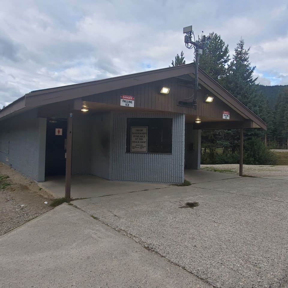
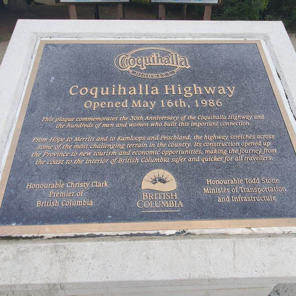
If you're needing a break, the Britton Creek Rest Area is a great place to stop. Good washroom facilities. Picnic tables on the grassy area. Space to walk the dog or let the children run around a bit. Finally, there are also some informational maps and a wonderful plaque commemorating the opening of the Coquihalla Highway.
Food Truck Owner has Twenty Years of Service
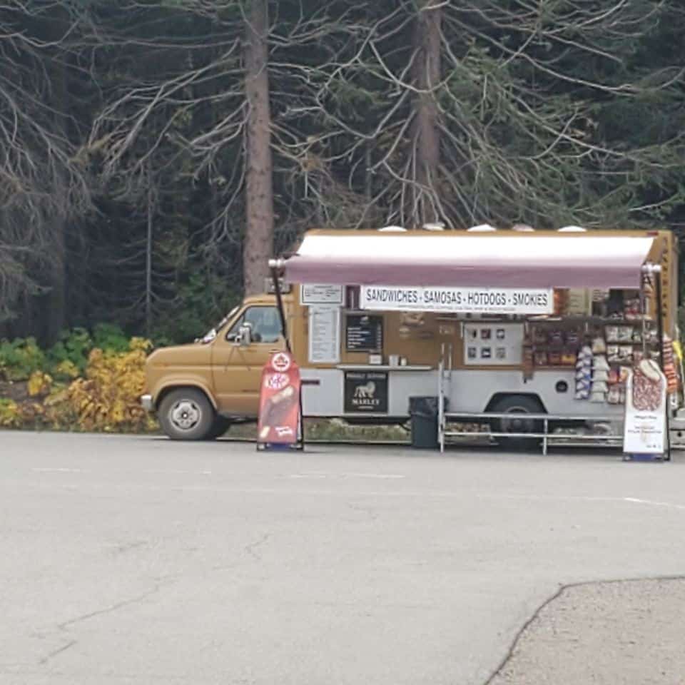
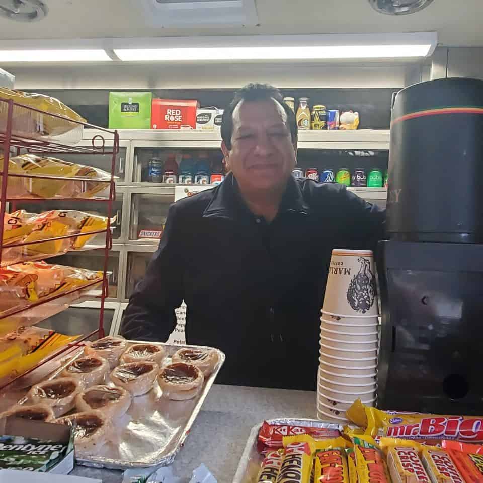
It was time for a hot chocolate and a snack so I stopped by the food truck. As I chatted with the operator, he mentioned that he has been at this location for twenty years. Consequently, those people doing regular trips on this section of the Coquihalla will be very familiar with his cheery smile and good selection. I highly recommend the hot chocolate. It was delicious.
Nearing Merritt
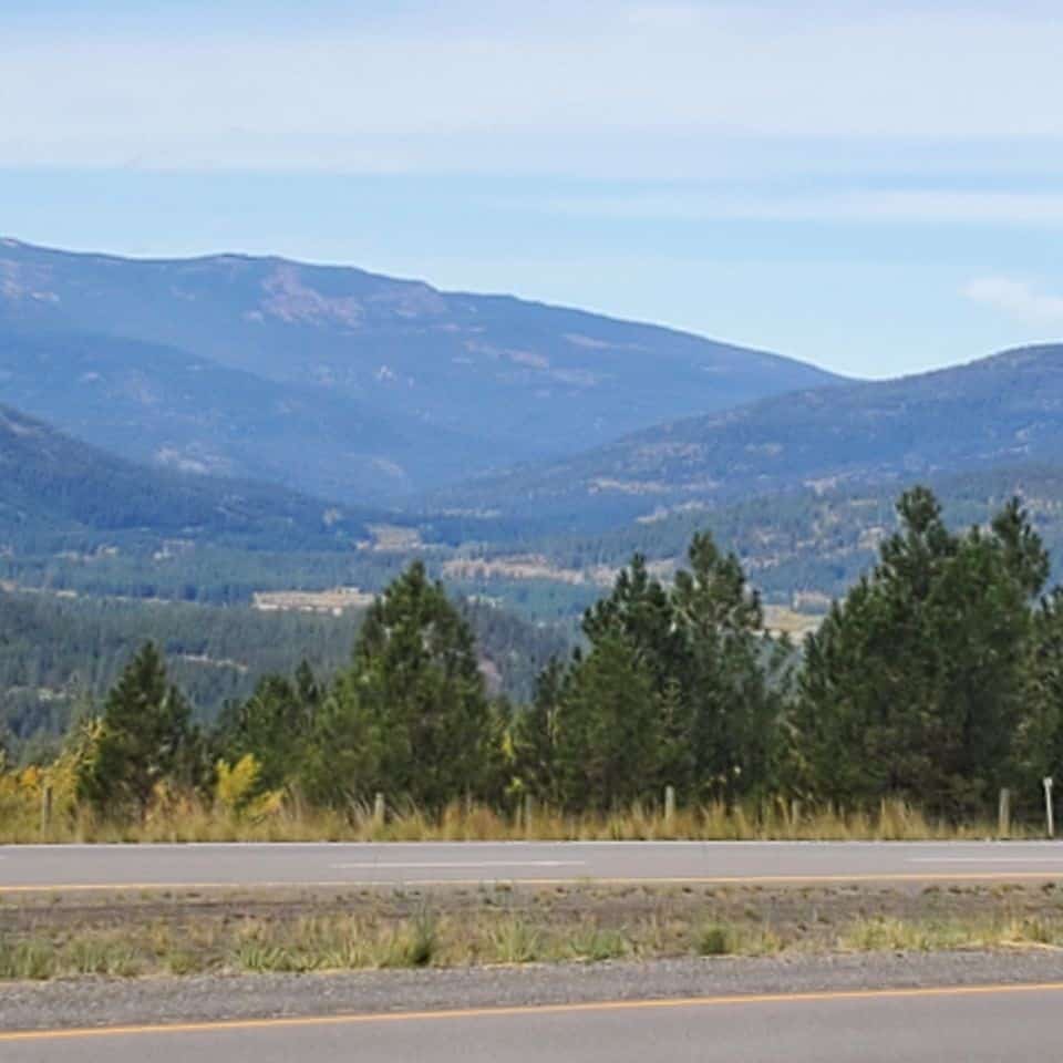
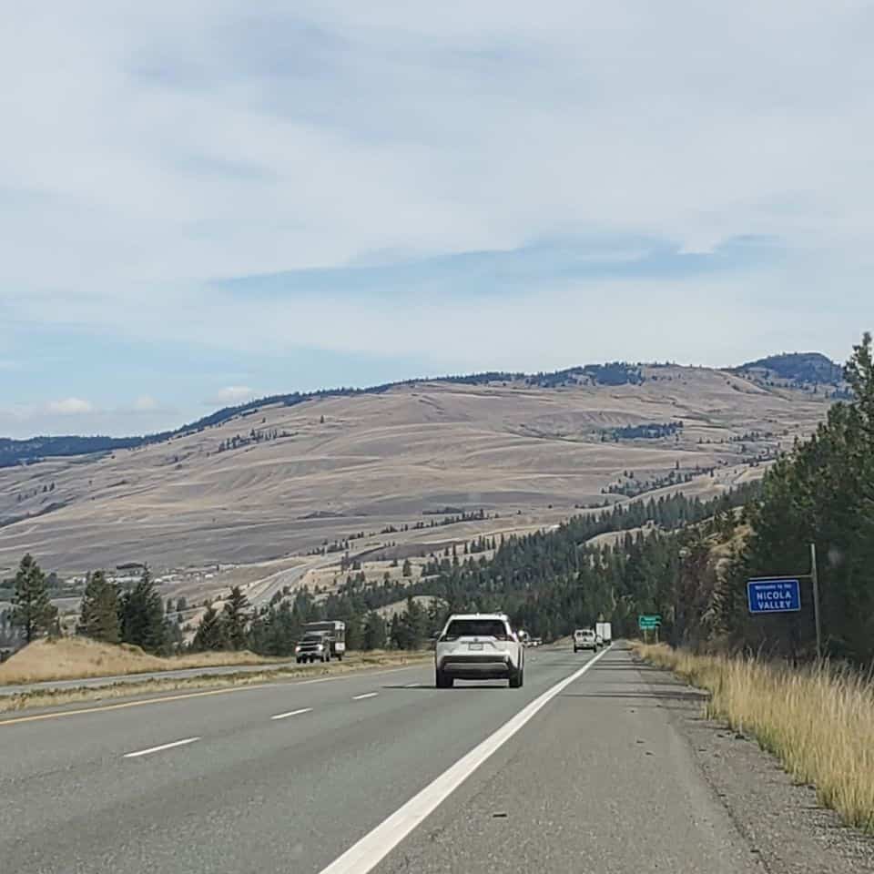
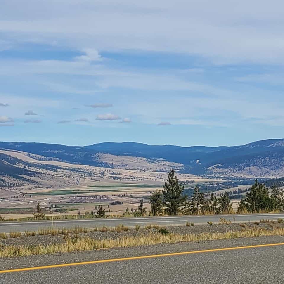
There is a noticeable shift in the terrain as the road nears Merritt. Eventually you get glimpses off into the distance of open country, and far fewer trees. You are almost finished your first road trip over the Coquihalla. Merritt has a population of around 7000 people. It has a semi-arid climate and is approximately 600 m above sea level. The area is known for an abundance of lakes. Consequently the area is known for fishing, mountain biking, horseback riding, snowmobiling, ice fishing among other recreational pursuits.
Plan Ahead when Driving the Coquihalla Hwy
Include this Wilderness Adventure as you Explore BC
Driving the Coquihalla Highway feels like an accomplishment regardless of how many times you do the drive. What weather conditions will you encounter? Will there be any slow downs? Then the elation at having a successful road trip.
Driving the Coquihalla Highway
From Hope to Merritt British Columbia
When you subscribe to the blog, we will send you an e-mail when there are new updates on the site so you wouldn't miss them.




Comments 9
Some of the views and wildlife sightings on the Coquihalla Hwy (aka Coke) are stunning. The highway is a main doorway into my community.
You must do this trip often. I know you go to Vancouver Island now and then.
I have always wanted to do this drive. You made it seem a lot less intimidating than the shows and stories you hear. I will be sure to plan ahead and go prepared! Thanks for sharing this strip of Canada
Yes, Andrea, you will have to add it to highways you've travelled.
Looks like an amazing road trip Diana! I’ve seen the Highway featured on television before!
The highway cameras are so helpful. The weather reports are less so. I've planned a trip just to be reminded by people that there was just a big snow storm on the Coke. True, but when you look at the webcams, you can see that the roads are plowed, in good winter condition, and it's sunny and clear.
Great pictures and write up Diana! Such pretty fall colours along the way too. I used to watch Highway Thru Hell. It was always so interesting. Your post is very informative and the road trip tips are so important for winter driving on the Coq. Also...now I want to go on a road trip.
It's gorgeous in winter after a large snowfall. Everything is pristine! Like a winter wonderland.
I agree, it is a beautiful drive all year round.