Top Backpacking and Bikepacking Rail Trails in BC
Our Favourite Sections of the Trans Canada Trail on Canada's West Coast
Our list of the
5 Best Rail Trails of British Columbia Canada includes some of our favourite sections of the Trans Canada Trail on the West Coast for backpacking and bikepacking. With more than 1,700 km of the Trans Canada Trail (formerly the Great Trail) in southern British Columbia, compiling a list of our favourite rail trails for hikers, cyclists, mountain bikes, ebikes, and fat bikes was a challenging task. The rail trails of
British Columbia offer breathtaking mountain scenery, exciting wooden trestle bridges, spooky train tunnels, spectacular views of cascading waterfalls, overlooks of deep blue lakes, rolling grassland, and beautiful provincial parks. As a result, whether you're looking for an epic multi-day bikepacking trip, a long-distance backpacking adventure, or a simple out-and-back day trip for the entire family, there's something for everyone!
5 Best Rail Trails of British Columbia Canada on the Trans Canada Trail
Discovering the
Trans Canada Trail in BC involves connecting with history along spectacular river valleys in the territory of the Ktunaxa Peoples, discovering rolling grasslands, braving the darkness in a 1 km long train tunnel, cycling the famous Kettle Valley Rail Trail through the epic scenery of Myra Canyon, and immersing yourself in the lush and towering temperate rainforests of Vancouver Island. In 2022, Sean and I became the first couple to walk, photograph, and blog more than 14,000 km of the Trans Canada Trail between Cape Spear, NL and Victoria, BC during our
Come Walk With Us Royal Canadian Geographical Society Expedition. What follows is a list of our favourite rail trails in southern BC, whether you're planning a weekend getaway in the mountains, a backcountry wilderness backpacking experience, or an once-in-a-lifetime long-distance adventure.
Best Rail Trails in British Columbia. Credit: Sean Morton
Trans Canada Trail in British Columbia, Canada. Credit: Sean Morton
The mountains are calling and I must go ....
by John Muir
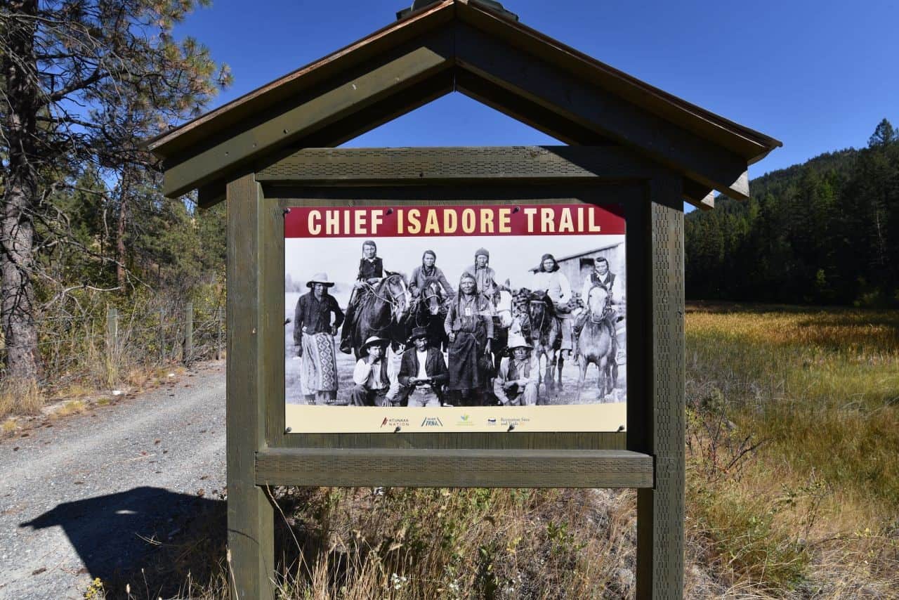
Chief Isadore Trail, Cranbrook, BC
The
Chief Isadore Trail is a 43.5 km hard packed gravel hiking and cycling trail that connects the Wardner Community Park in Wardner to the beautiful city of
Cranbrook, BC. Half rail trail and half enhanced singletrack pathway, it is one of those quiet gems along the
Trans Canada Trail that has been well developed and is locally loved. Interestingly, this route traces the stunning Isadore Canyon, which was historically used by the Ktunaxa Peoples. Furthermore, regular signage and historical plaques along the trail do a terrific job of acquainting trail users with the region's Indigenous and settler heritage.
Hiking the Chief Isadore Trail
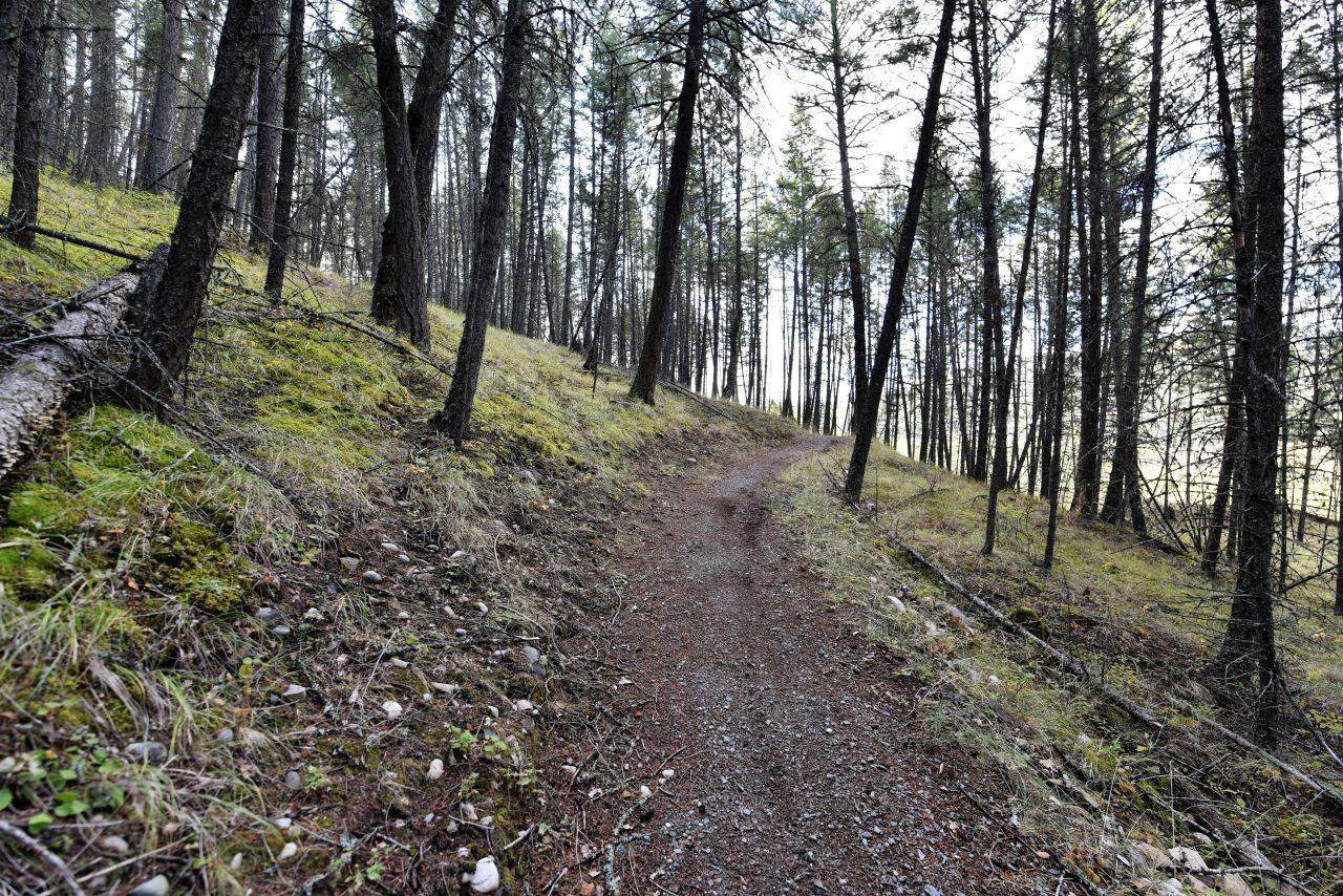
When we set off from Wardner Community Park, heading northwest on the Chief Isadore Trail, we followed a packed gravel surface that followed alongside a roadway before traversing gorgeous grasslands. Next, we soon began a gentle ascent into a glorious pine forest, where the trail became a well maintained dirt footpath, complete with twists and turns to make it a great ride for mountain bikes. In the end, one of our favourite aspects of this trail, apart from the epic and varied mountain scenery, was that trail visitors can enjoy regular picnic areas, great signage, and multiple access points with parking and well-marked trailheads along the entire route.
Pro Tip: If you are looking for a longer adventure, the Chief Isadore Trail connects to the North Star Rails to Trails pathway. Together these two rail trails give users 71 km of stunning long-distance experiences between Wardner and Kimberly.
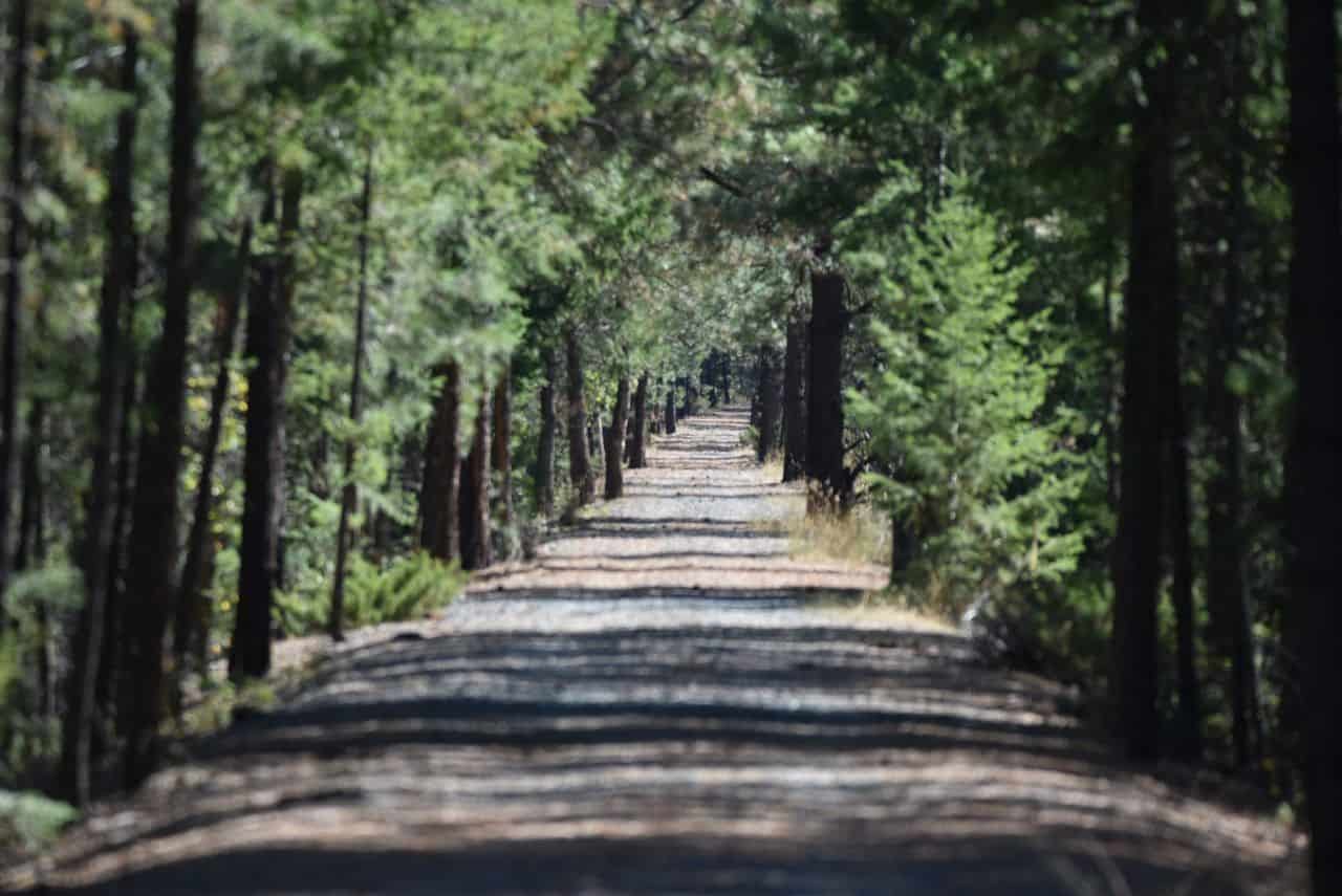
BC's Chief Isadore Trail is a shady corridor of green. Photo Credits: Sean Morton
Kootenay River, Wardner Provincial Park
Signage on the Chief Isadore Trail shares local Indigenous and settler histories
Part rail trail and part enhanced singletrack, BC's Chief Isadore Trail is varied and beautiful
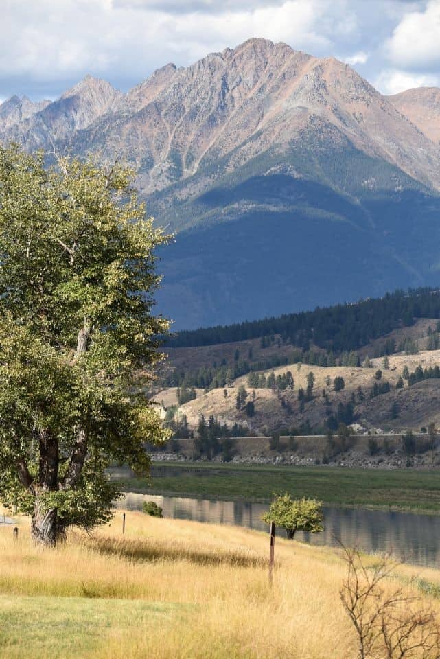
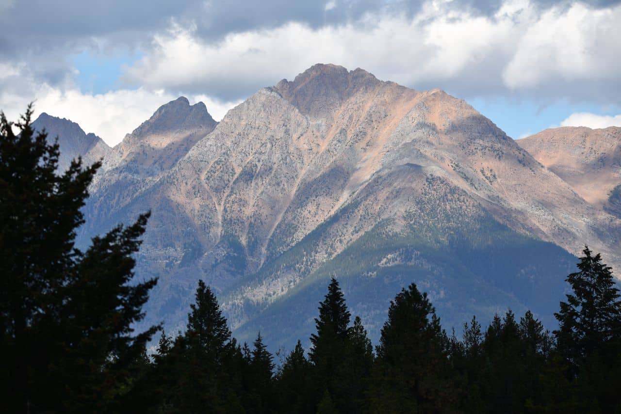
The Lizard Range provides colourful mountain scenery along BC's Chief Isadore Trail
North Star Rails to Trails, Kimberley, British Columbia
Heading west, second on our list of the best rail trails in British Columbia is the
North Star Rails to Trails path. This 24.7 km long paved multiuse trail connects the towns of Cranbrook, Marysville, and
Kimberley, BC. Interestingly, this rail trail was developed as a multiuse trail in 2010. Moreover, it was built on an abandoned rail line that was established in the 1890s when the region was the centre of the provincial mining industry. As a result, the North Star rail trail has gentle grades along its length, and it has been developed as a multi-season route that is suitable for walking, hiking, jogging, cycling, and inline skating. Amazingly, it is also wheelchair accessible!
North Star Rails to Trails in Review
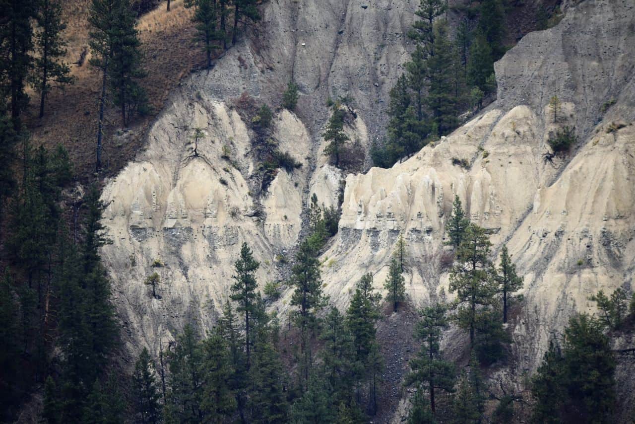
We thoroughly enjoyed our westward trek along the extremely well-maintained and signed North Star Rail trail. In particular, some of our favorite highlights were the spectacular views of the Rocky and Purcell Mountain ranges, the peace and quiet of the grasslands and pine forests, catching a glimpse of a herd of elk grazing down in the river canyon, and seeing the hoodoos along the banks of the St. Mary River.
Pro Tip: The North Star Rails to Trails seamlessly connects to the wonderful Chief Isadore Trail at one end and the Trails of Kimberley through the beautiful Kimberley Nature Park at the other.
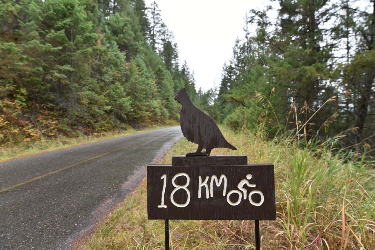
Unique signs guide hikers and cyclists along BC's North Star Rails to Trails path. Photo Credits: Sean Morton
Hoodoos on the North Star Rail Trail near Cranbrook, British Columbia, Canada
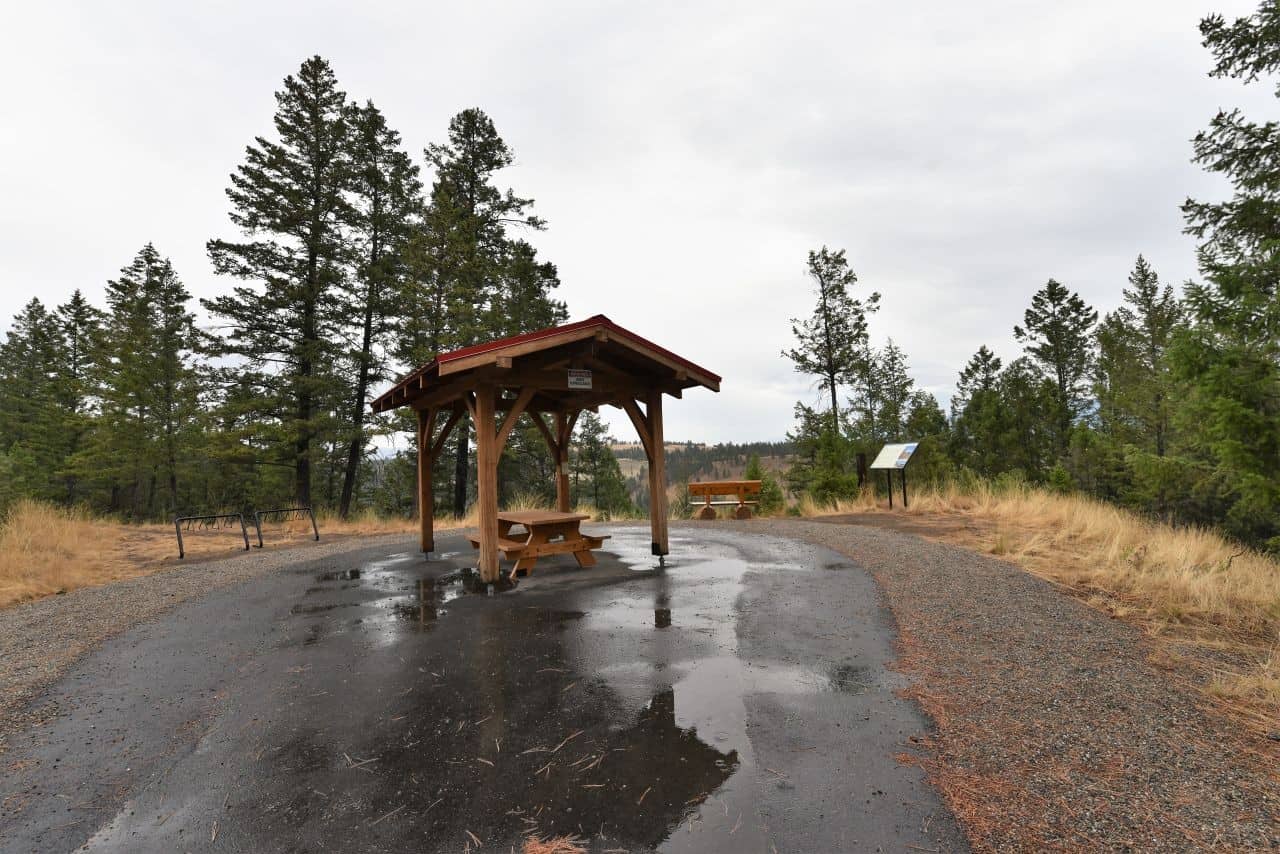
Picnic shelter and view point along the North Star Rail Trail, British Columbia
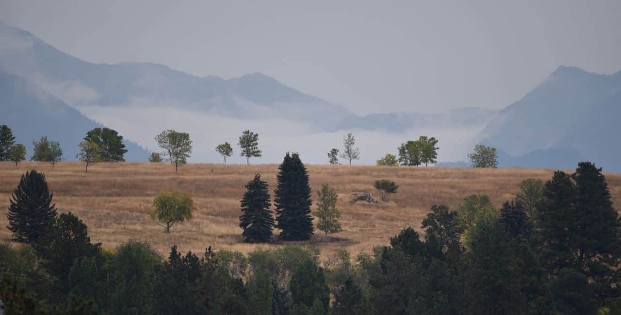
Grasslands and rolling ranch country along the North Star Rail Trail
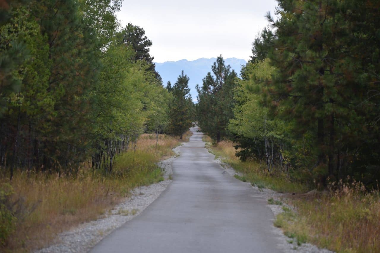
The North Star Rails to Trails pathway is a level, paved, multiuse route
Columbia and Western Trail, Castlegar, BC
The third pick on our list of favourite rail trails along the Trans Canada Trail in British Columbia, the
Columbia and Western Trail, is less well-known but no less spectacular than its more famous cousin, the Kettle Valley Rail Trail. Truly, the
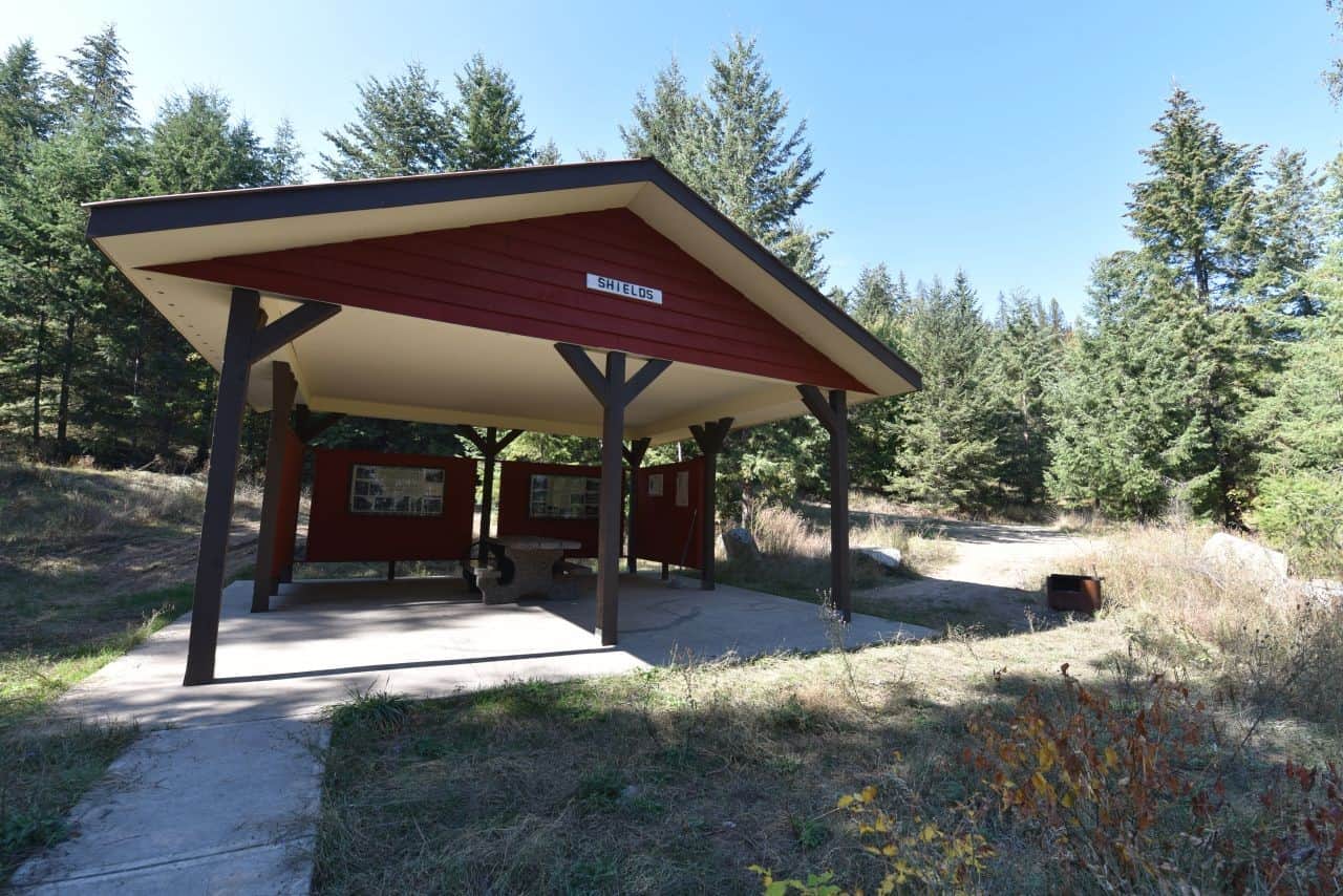
Columbia and Western Trail is one of British Columbia's hidden gems. This 163 km long gravel road and trail follows the abandoned Canadian Pacific Boundary Subdivision line between Castlegar and Midway, BC. Amazingly, it provides stunning views of the Columbia River, epic mountain scenery, and regular shelters and rest stops along the route. In addition, there is signage describing the history of the region and the railway along the route as well. Best of all, tunnels, trestles, and artifacts from long abandoned railway towns provide points of interest along this rail trail. This wilderness experience provides hikers, cyclists and ATVers with terrific scenery and spectacular views from end-to-end.
Bulldog Tunnel
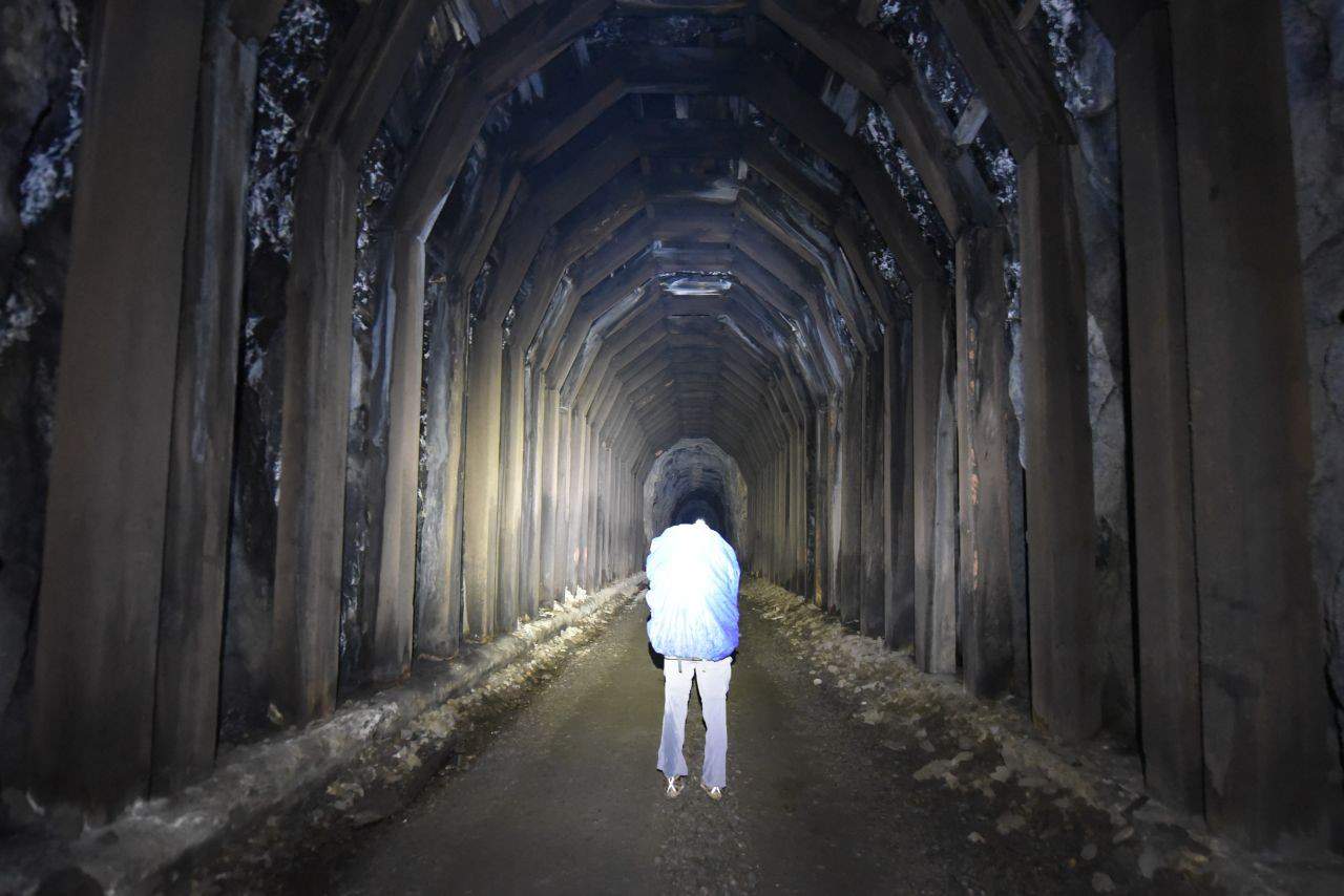
The C&W Trail includes several epic train tunnels that trail users need to hike or cycle through. At the heart of the trail is Bulldog Tunnel, which was built in 1899 and is almost 1 kilometer in length! Specifically, at 918 m in length, the
Bulldog Tunnel was once Canada's longest rail tunnel. Interestingly, it has a curve near the middle, meaning that when we hiked into it we couldn't see any light at the far end! Scarily, our headlamps barely penetrated the pitch darkness near the center, and the sound of dripping water echoed in the freezing cold air. Along with sightings of elk, moose, and bears, this tunnel was a definite highlight of the Columbia and Western Trail.
Pro Tip: The Columbia and Western Rail Trail connects seemlessly with the well-known Kettle Valley Rail Trail in Midway, BC, offering cyclists and hikers an opportunity to extend their trips through some truly epic landscapes.
Hiking the epic Columbia and Western Rail Trail from Castlegar to Midway, BC. Photo Credits: Sean Morton
Picnic shelter with interpretive signage on the Columbia and Western Rail Trail
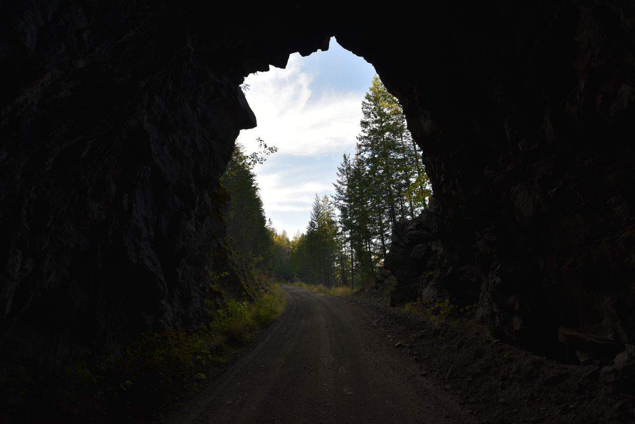
Emerging into the light from one of the tunnels on the C&W Trail
No light reaches the middle of the 916 m long Bulldog Tunnel on BC's C&W Trail
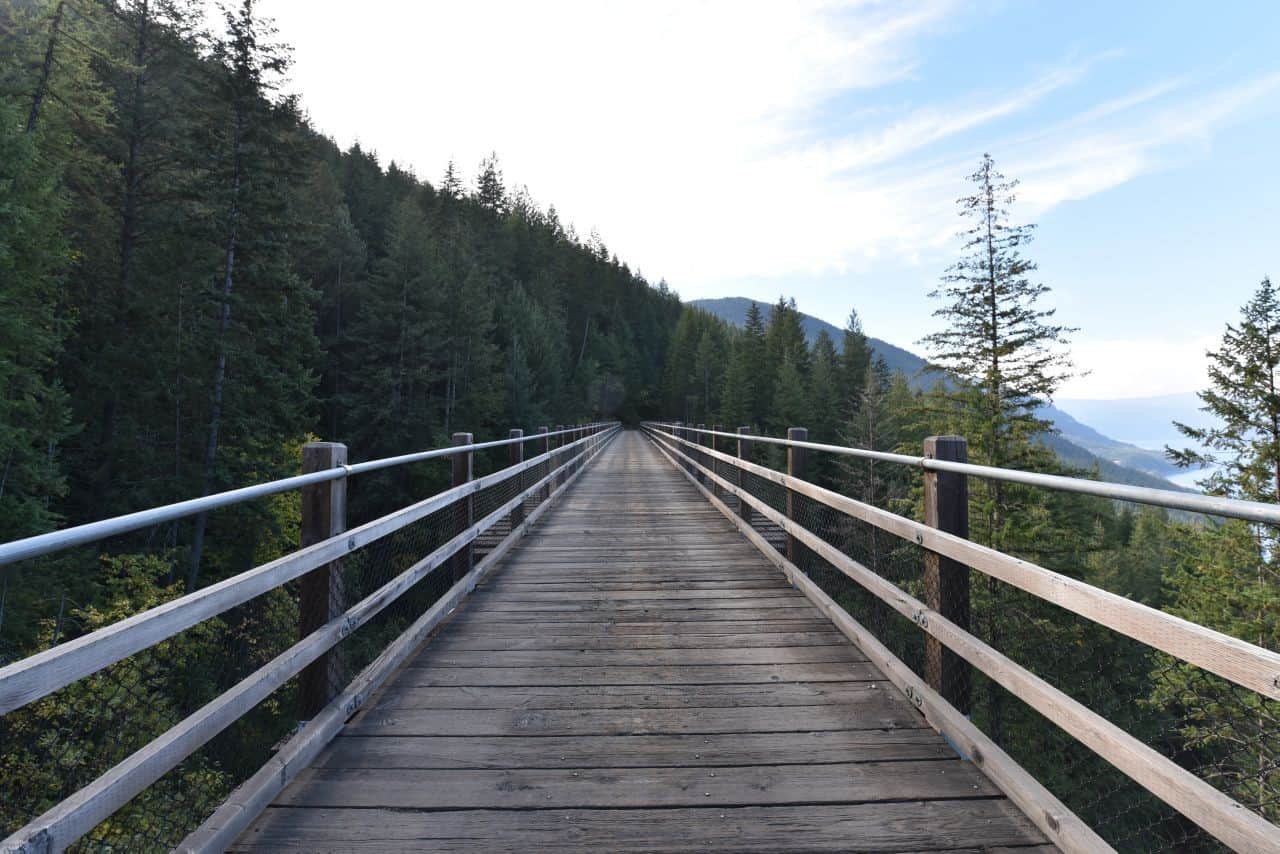
One of several trestle bridges along BC's Columbia and Western Rail Trail
Stunning mountain scenery on the Columbia and Western Rail Trail, British Columbia, Canada
Myra Canyon, Kettle Valley Rail Trail, Kelowna, BC, Canada
Continuing west across British Columbia, the next rail trail on our list of favorite sections of the Trans Canada Trail is the famous
Myra Canyon
portion of the
Kettle Valley Rail Trail. Specifically, Myra Canyon is a 20 km stretch of the popular 500 km long Kettle Valley Rail Trail, which is located just outside the town of Kelowna, BC. In fact,
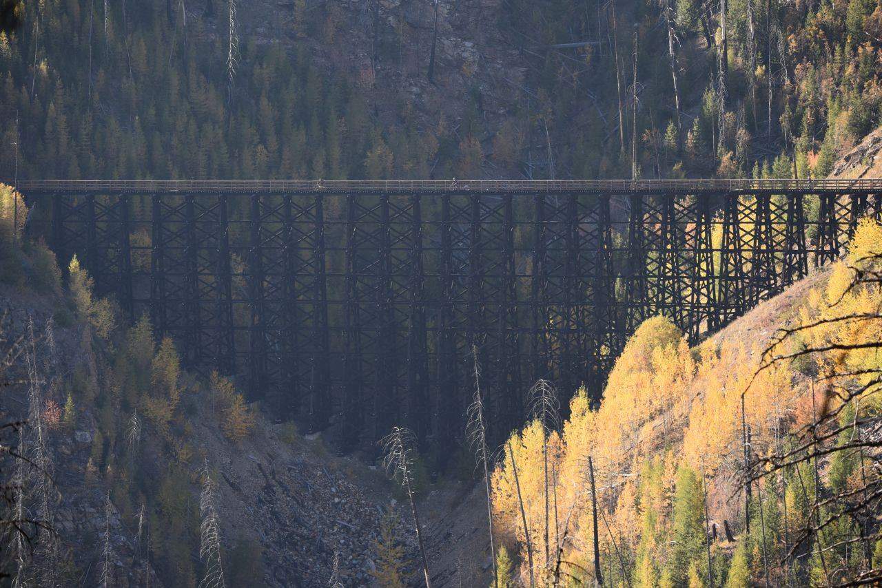
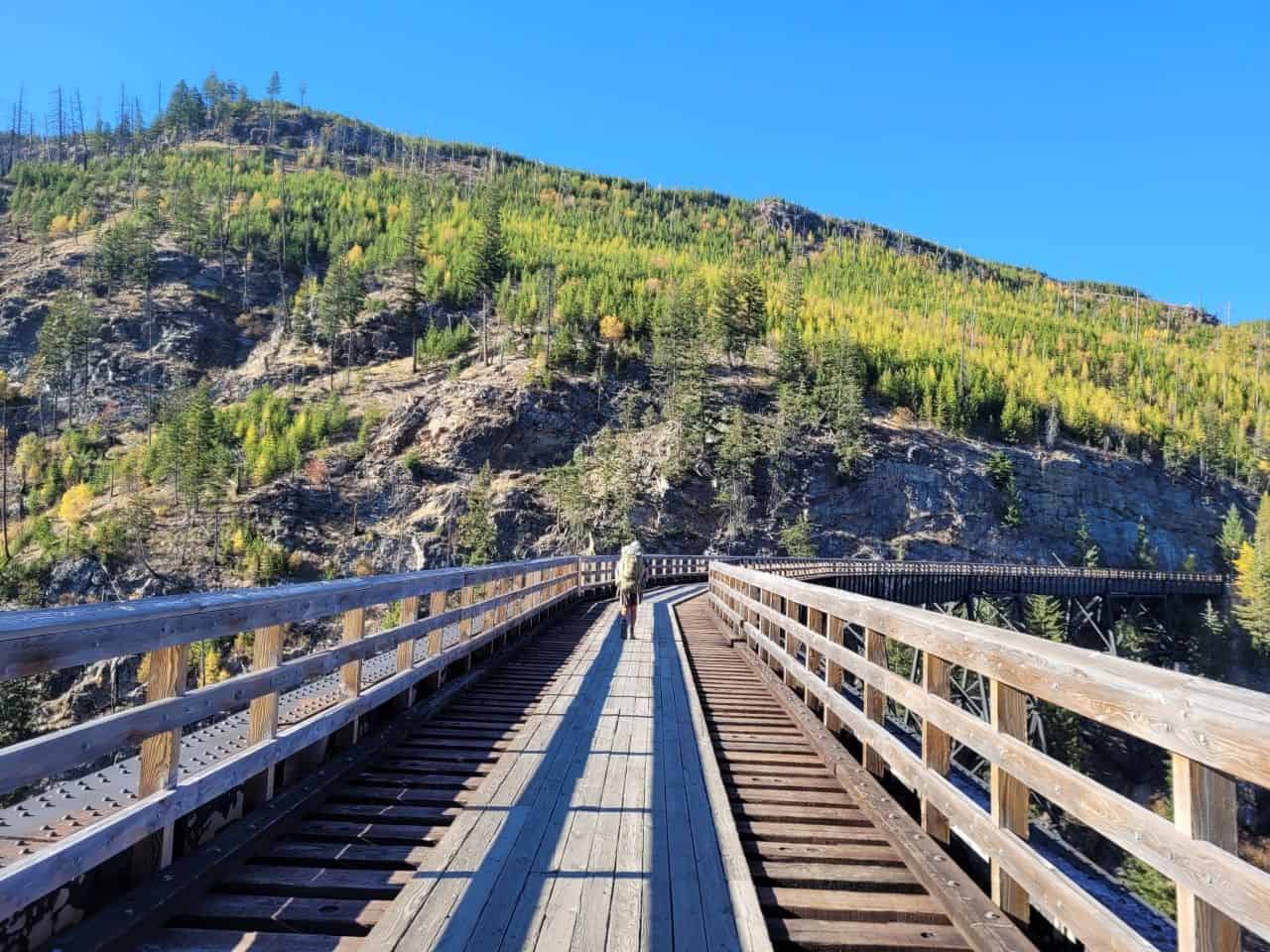
Myra Canyon is a Canadian engineering marvel, a popular tourist destination, and a stunning and extremely popular hiking and cycling desitnation. The adventure takes cyclists and hikers over 18 trestle bridges and through two train tunnels amidst an unforgettable landscape stretched around
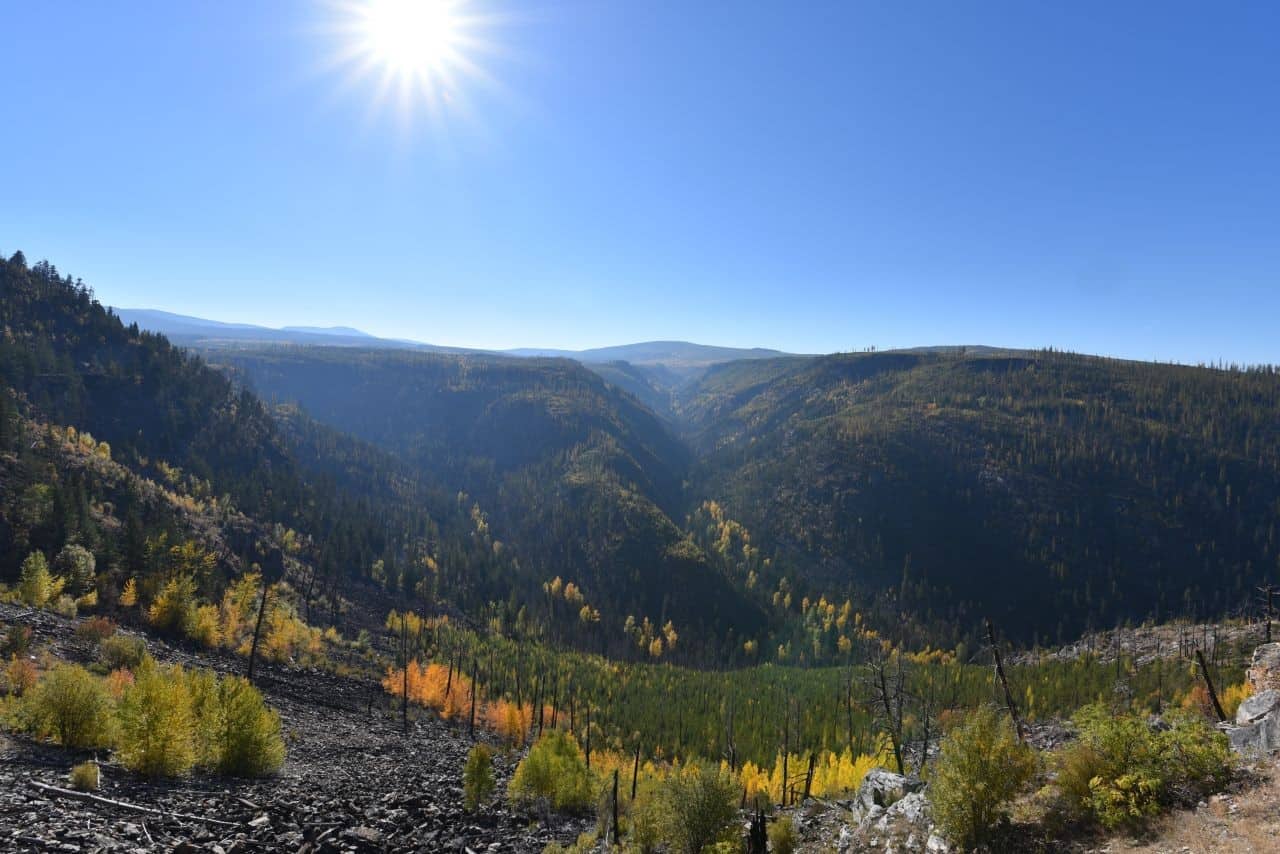
Myra-Bellevue Provincial Park. Amazingly, the wide, level, hard-packed rail trail hugs the steep sides of the canyon, providing outstanding views beside adrenaline inducing drops to the forested valley floor far below. Understandably, due to the engineering feats involved in creating this railway line, Myra Canyon has been designated as a National Historic Site of Canada, and the rich history of this site is also outlined on signage throughout this section of trail. In our opinion, Myra Canyon is one of the most picturesque sections of the Trans Canada Trail in British Columbia.
Pro Tip: If you're visiting the area you can easily rent a bike to explore Myra Canyon or even bike to the nearby vineyards in the Okanagan Valley.
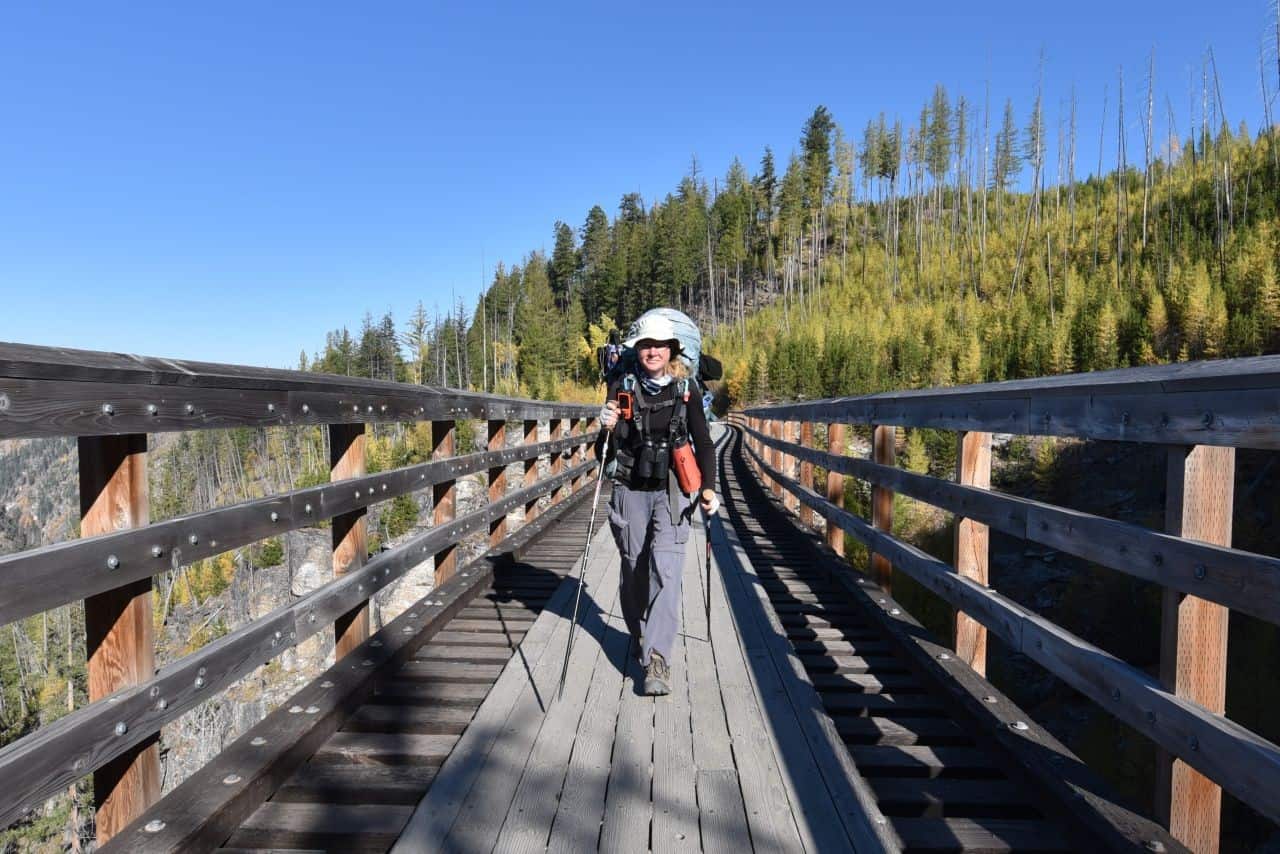
Hiking the Myra Canyon Trestles near Kelowna, BC. Photo Credits: Sean Morton
Explore 18 trestle bridges in Myra Canyon, British Columbia, Canada
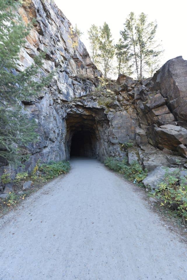
Railway tunnel at Myra Canyon, BC
Fall colours are spectacular in Myra Canyon, Kelowna, BC
Myra Canyon is a scenic highlight of the Kettle Valley Rail Trail, BC
Cowichan Valley Trail
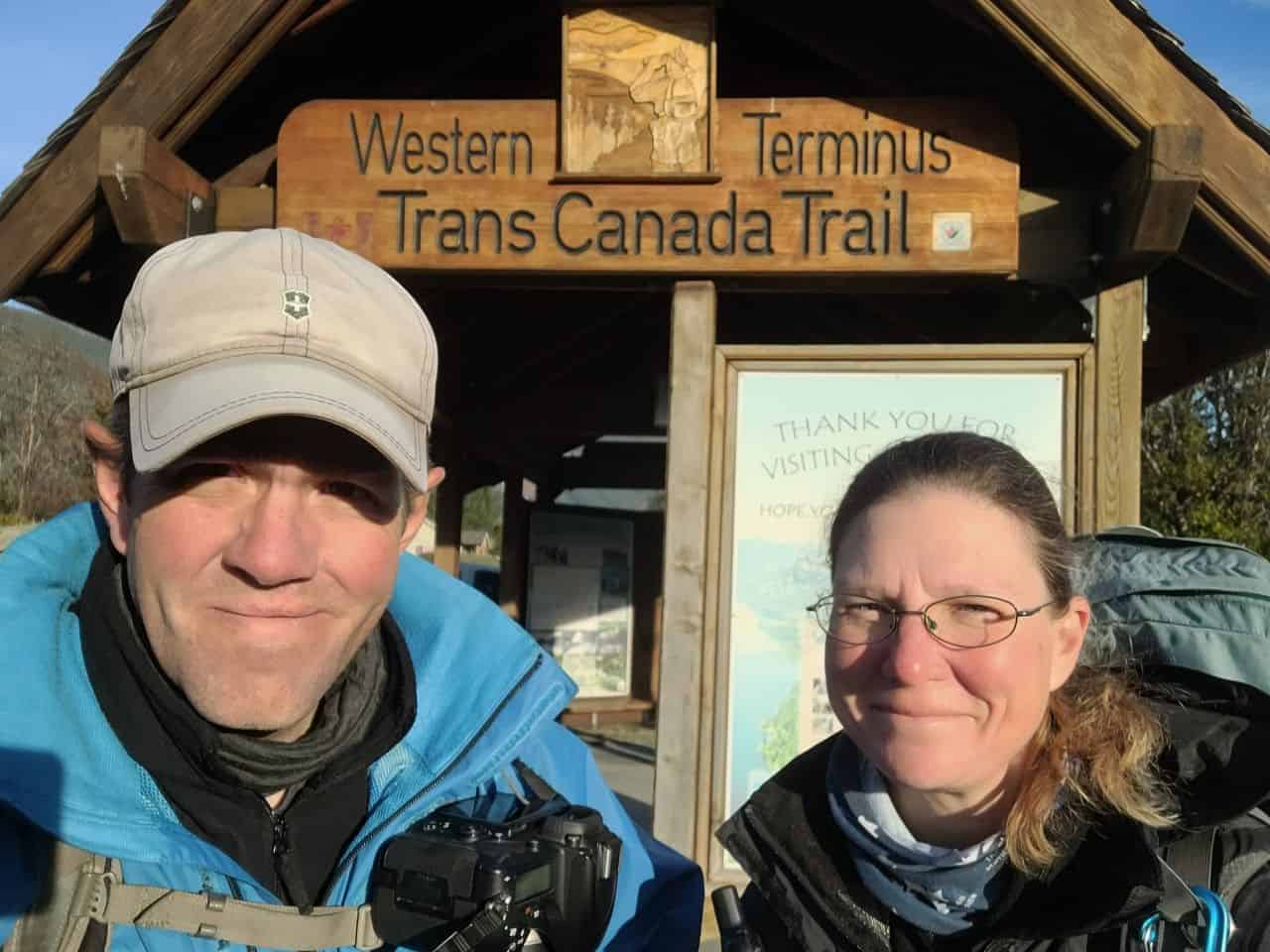
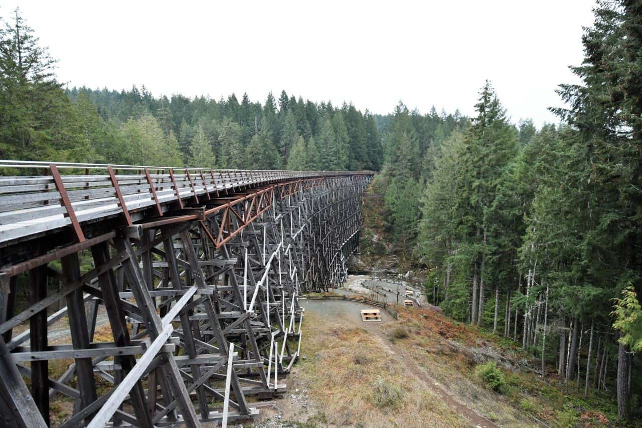
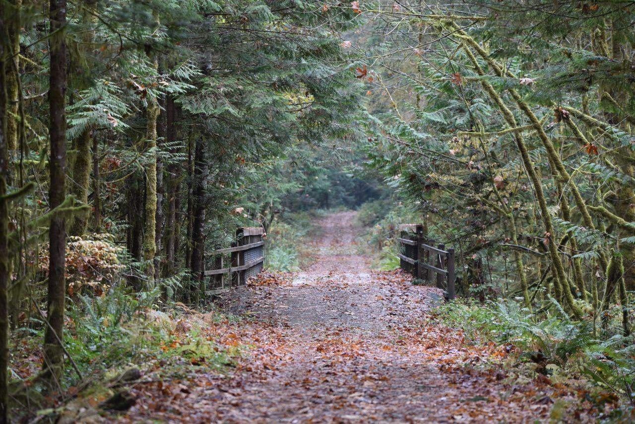
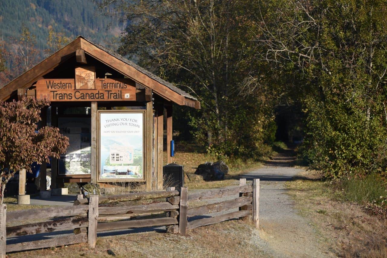
The final, and most western, rail trail on our list of favourites is the Cowichan Valley Trail on Vancouver Island. Developed on a former CN Railway line, the Cowichan Valley Trail is 129 km long, and spans from the Nanaimo Regional District boundary near the town of Ladysmith, to the iconic Kinsol Trestle on the edge of Shawnigan Lake, to the boundary of the Capital Region District near Goldstream Provincial Park. Amazingly, this hard packed gravel mutliuse rail trail crosses eight restored trestle bridges, features picnic and rest areas along the route, and passes through several communities, including Chemainus, Duncan, and Cowichan Lake. Furthermore, hikers and cyclists alike can travel along the trail under a canopy of lush trees while enjoying spectacular views of the river valley and the mountains beyond. For us, highlights along the route included an opportunity to visit the Western Terminus of the Trans Canada Trail in the community of Lake Cowichan, hiking over the historical Kinsol Trestle Bridge, and being able to reconnect with nature in the incredible coastal rainforests of Vancouver Island.
Pro Tip: This trail begins near to the 49th Parallel – or the historical Canadian-American southern border. As this border does not extend across Vancouver Island, southbound hikers will get frequent views of the Olympic Peninsula in Washington State!
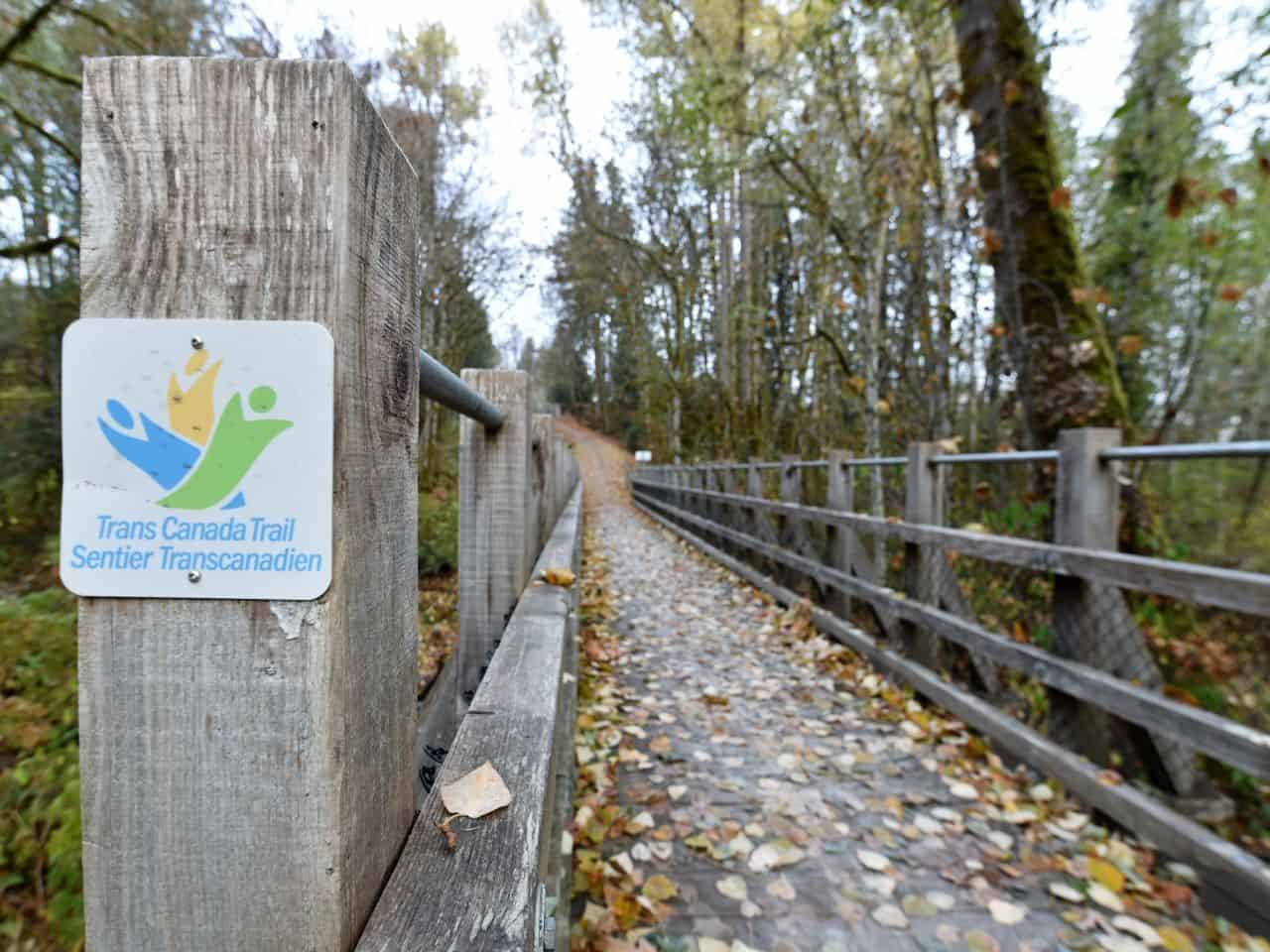
Kinsol Trestle Bridge, Cowichan Valley Rail Trail, Vancouver Island, BC. Photo Credits: Sean Morton
The Cowichan Valley Rail Trail follows a tranquil, lush, forested river valley
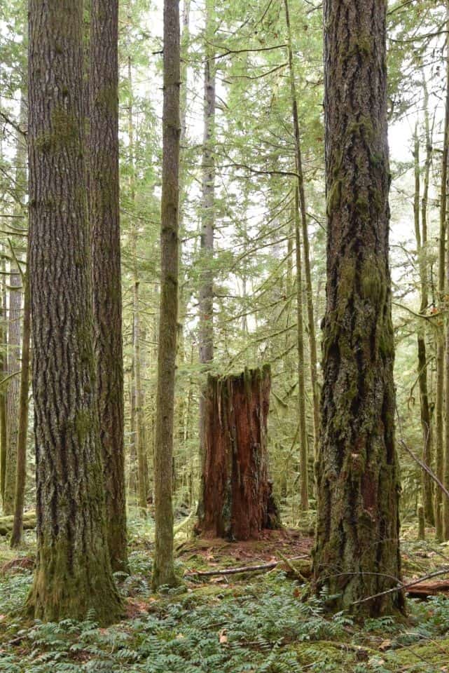
Temperate rainforest in the Cowichan Valley
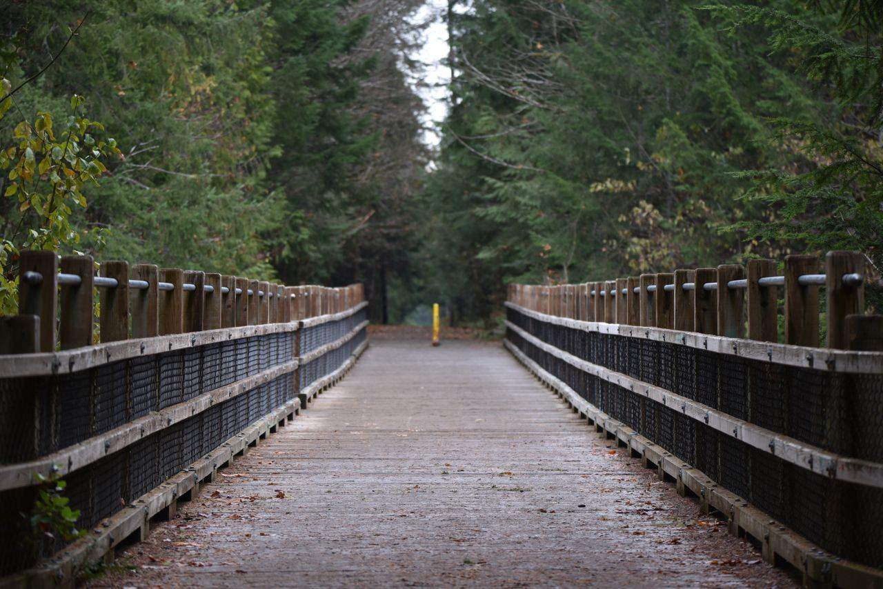
Hikers and cyclists cross eight trestles on the Cowichan Valley Rail Trail, BC, Canada
Western Terminus of the Trans Canada Trail, Lake Cowichan, BC
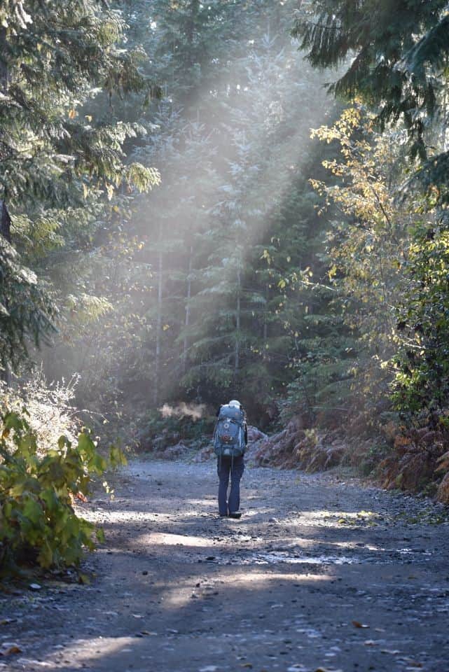
Morning light on the Cowichan Valley Trail
British Columbia, Deeply Connected with Nature
In conclusion, the forests, wilderness, and Rocky Mountains of British Columbia are world renowned for their natural beauty. The best rail trails in British Columbia, Canada, which include some of our favourite sections of the Trans Canada Trail, provide hikers and cyclists with the means to explore, discover, and enjoy the best of the nation's outdoors.
5 Best Rail Trails of British Columbia Canada
Top Backpacking and Bikepacking Rail Trails in BC




Comments 9
Woohoo! This is awesome, compact B.C rail trail fun! As little seeker gets older, I'll be able to ride again soon enough and will be keeping this handy. Wonder how far I could go when so many connect think)
You've inspired me. We have been talking about riding the Kettle Valley Rail Trail for awhile now. I think we'll have to plan to do it soon. I also apparently need to add 4 other BC rail trails to the hike/bike list.
It must have been bitter sweet reaching the western terminus of the Trans Canada Trail. I am looking forward to the blog about your entire journey, like how did you plan it, how long did it take, did you hike in January or take winters off, what about blisters....
I love the video addition to your story. Compliments the trails and story very well. Videos also extend time on page. Which is good for engagement numbers. Well done you too. Always a big fan of your selfies.
Awesome photos & video! Would love to visit some of these places.
Andrea Horning Combining the Columbia and Western and the Kettle Valley Rail Trails gives you nearly 700 km of seamlessly connected rail trail (they join up in Midway, BC). Together they provide a wonderful adventure! BC has a pretty great trail system, so there are a lot of options for off-road, long-distance hiking or cycling adventures.
EH Canada Marketing Group Thanks! As you know, we're happiest remaining behind the camera lens, but we're slowly learning
Cary Horning BC has some excellent trails very close to the Alberta border, and a lot of options to choose from, depending on whether you like a leisurely cycle on a rail trail, a day-hike or cycle near a spa or resort, or a more challenging backcountry wilderness adventure. You two go on so many adventures I'm sure you'll have a chance to check these trails out!
Sonya Richmond Thank you! I will check these out for next summer's adventures!
Sonya Richmond I like what we are seeing. Smiles.