Mount Lorne Trails

Park Amenities:
In the winter months Mount Lorne enjoys over 12 kilometres of cross country ski trails. Most of ski trails are loop routes. There are easy and difficult routes starting with a warm up loop and then proceeding into the pine forest where there are a group of loop trails ranging from 1 to 10 kilometres long.
The snow covered mountain valleys and hills on Mount Lorne are also home to dog sledders. The mountain is well regarded as a good destination for sledding. In fact some who participate in the Iditarod and the Yukon Quest Dog Sledding Races practice dog sledding on Mount Lorne.
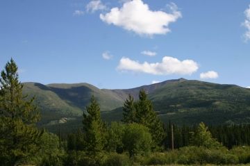
In the summer months Mount Lorne is a hiking destination. There is a hiking trail measuring 19 kilometres long which will lead all hikers to the summit of Mount Lorne at 1200 metres (3937 feet). It is a one way trail. It takes about 6-8 hours round trip to hike up and then hike back down.
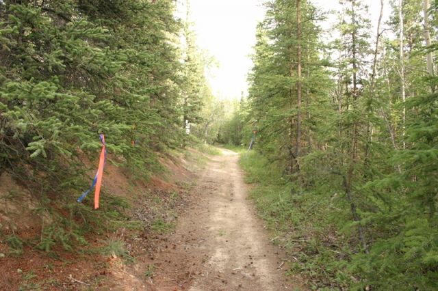
The trailhead is located on the banks of Bear Creek. Look for the marker on the side of the creek which leads into the trees. Do not follow the creek on the opposite side of the highway with the grated pebbled creek bed. It is only about 40 metres to the trees. Once in the trees there is a junction, keep right.
The first 5 kilometres is wagon road-like trail hiking through a forest of trees. It is wide, fairly level and well defined. Somewhere between 5 and 6 kilometres into the hike is an old cabin which was once the home to fur trappers. The cabin is on an open slope with views of the valley below.
From the cabin the trail begins to climb. Behind the cabin look for a marker and a narrow opening in the trees. The trail begins here and soon climbs out of the trees and opens up into a field. Continue along the trail until you reach a ridge and more views.
In the distance, along the ridge, is a black rocky outcropping. That is the first summit. To reach the summit viewpoint follow the ridge to the left side of the black outcropping and climb to the top.
Once at the top prepare yourself for some great views of the Southern Lakes region. To the south is Bennett Lake. To the north is Whitehorse. Look east and there is Marsh Lake. Look west and one can see McConnell Lake.
Once you have enjoyed the views it will be time to hike back down along the same route you came up on. The trail does continue to other peaks but daylight and distance must be taken into consideration and proper preparations must be made prior to your departure.
Explore Mount Lorne Trails in Carcross, Southern Lakes, Yukon Territories, Canada
Address:


