Nitainlaii Territorial Park

Park Amenities:
The Nitainlaii Territorial Park is a campground park and information destination perched on a rocky bluff overlooking the Peel River. The park is located 195 kilometres south of Inuvik, Northwest Territories, Canada at the 541 kilometre (Mile 336) point on the Dempster Highway which is 76 kilometres after the Yukon/NWT Border crossing.
Nitainlaii means "water flowing out in all directions" in the native language of the Gwichin' First Nation people. The Gwichin' were the first inhabitants of the area and named the park after the mighty river which once served them as a transportation route and feeding and hunting grounds - the Peel River.
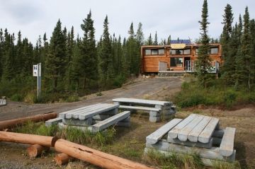
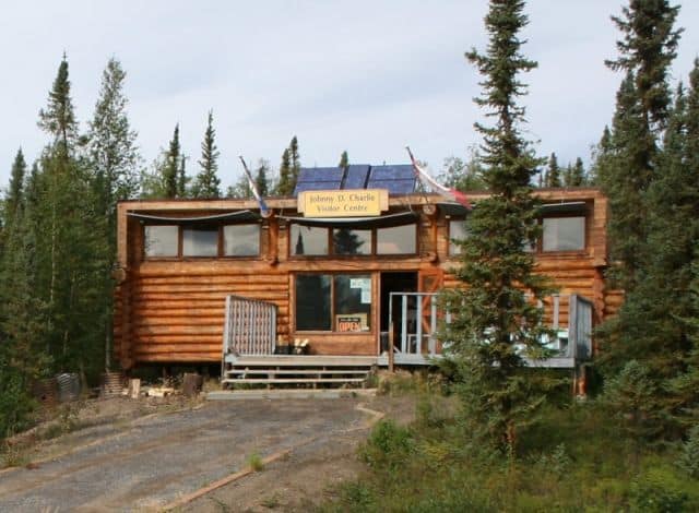
The Nitainlaii Territorial Park is best known as a campground park. However, it also doubles as an information centre, a picnic day use area and rest stop. Located just inside the park entrance is the first real information/interpretive centre on the Dempster Highway after crossing the Yukon / N.W.T. Border. The entrance to the information centre and park is located 1 kilometre after the Peel River ferry crossing.
The interpretive centre provides information on the local parks, adventures and the conditions of the Dempster Highway. There are also displays in the centre detailing the nomadic lives of the Gwichin' First Nation people.
Some of the summer activities enjoyed in the park include picnicking, sightseeing and camping. The campground includes campsites with picnic tables, fire pits and firewood. There are water taps, a kitchen shelter and pit toilets located in the park. The campsites are not powered.
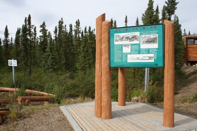
And located near the entrance of the park, beside the interpretive centre, is a day use area with picnic tables and pit toilets. Surrounding the day use area are many outdoor interpretive signs detailing the rich history of the First Nation people and surrounding eco systems.
Nitainlaii Park, Inuvik, NWT on the Dempster Highway exploring the Western Arctic, Northwest Territories, Canada.
Address:


