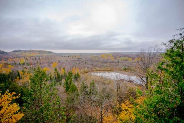
Mono Cliffs Provincial Park

Trail Length: 600m - 4.8km
Difficulty: Moderate
Park Amenities:
Mono Cliffs Provincial Park is located in the rural town of Mono and is part of the Niagara Escarpment Parks System and the escarpment Biosphere Reserve.
The provincial park offers multiple hikes varying from 600m to 4.8km long.
As the park suggest the park has a number of cliff faces of the Niagara Escaprment. You have the option to walk through a canyon on the spillway trail or past 30 meter cliffs on the cliff top trail. This is a day use only park, camping is not available.
Hiking Trails:
Hiking:
Walter Tovell Trail - 4.8 km
McCarston’s Trail - 3.6 km
Carriage Trail - 1.3 km
Spillway Trail - 1.3 km
Cliff-Top Side Trail - 2.8 km
South Outlier Trail - 3.5 km
Lookout Trail - 600 m
Link Trail - 600 m
There is limited facilities at the park but offers a grassy picnic area with some tables during the spring, summer and fall seasons. There are also a few bathrooms located in the parking lot.
Address:
How To Get ToMono Cliffs Provincial Park
:Take the Gardiner Expressway W to ON-427 N to The Gore Road/Peel Regional Road 8 and Airport Road/Country Road 18.
Turn right onto 3rd line east.
The drive from Toronto to Mono Cliffs Provincial Park take about 1 hour 20 minutes.


