Canada Gallery / British Columbia / Kootenays photo gallery - British Columbia, Canada travel, tourism / Cranbrook 263

 Trail Map
2727 hits
Trailhead billboard of park information Billboard at the trailhead. RCMP Saddle Up
2731 hits
Royal Canadian Mounted Police at Fort Steele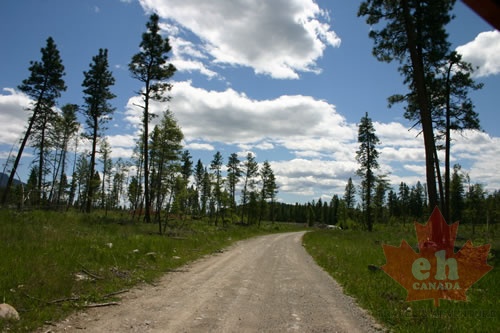 Gravel Road
2732 hits
Access road leading to lake Access road to Lakit Lake Forestry Site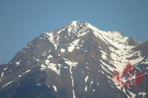 Snowcapped Peaks
2741 hits
Peaks overlooking Tie Lake Mountains overlooking Tie Lake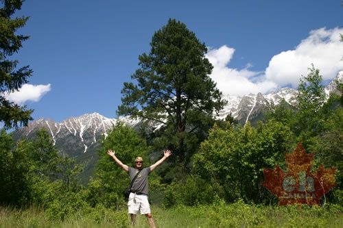 EH Tourism Exploring
2743 hits
Exploring Norbury Lake Park near Cranbrook Exploring Norbury Park Hiking
2745 hits
Ladies enjoying the sunshine day at the lake A couple ladies at Norbury Lake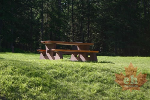 Picnic Table
2746 hits
Picnic area in the day use park Picnicking in the park.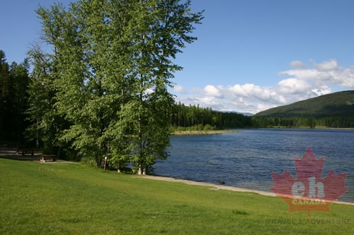 Lakefront
2748 hits
Views from shore of day use area Views of the lake Picnicking
2749 hits
Picnic table in the Community Forest. Picnicking in the park Wagon Ride
2752 hits
Wagon ride down the streets in village Rides and attractions in village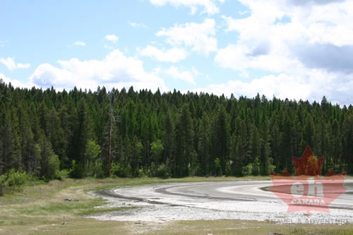 Sylvan Lake
2753 hits
Shoreling of rings on Sylvan Lake Lake in park for birdwatching. Lakefront
2754 hits
Views from parking lot Views of lake and day use area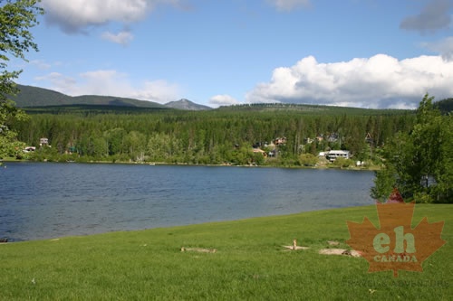 Lake Views
2755 hits
Views of Jimsmith Lake from shoreline Views of the lake.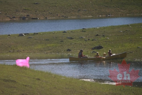 Canoeing Horseshoe Lake
2759 hits
Family canoe trip Canoeing on the small lake.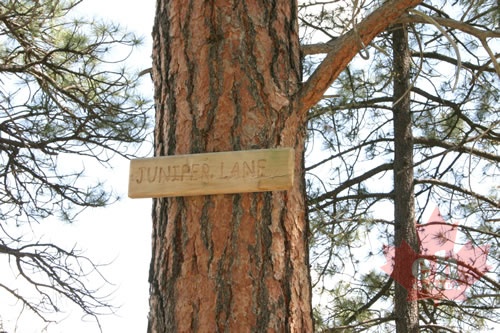 Juniper Trail
2762 hits
Trail sign in the park. Trail signs in the park.