Canada Gallery 16624

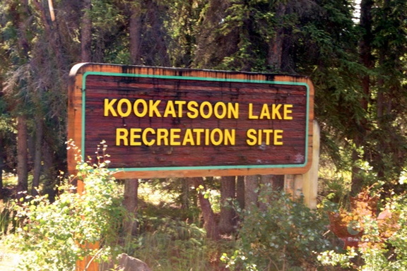 Entrance Sign
7819 hits
Sign on Klondike Highway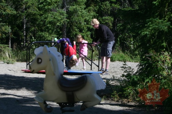 Family Time
10993 hits
Enjoying some smiles in the playground Sandy Beach
8261 hits
Beautiful day for beaches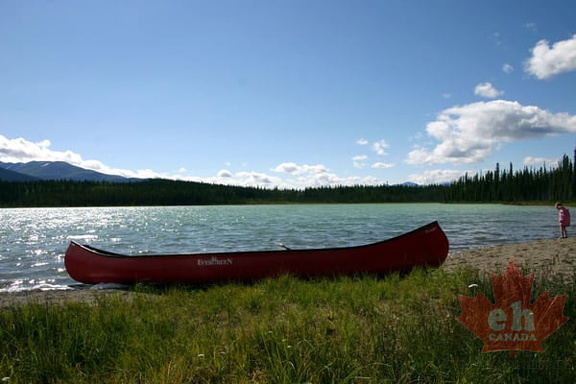 Canoeing
14604 hits
Lake views from beach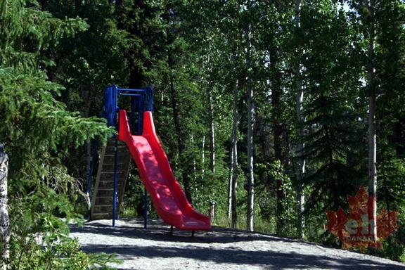 Playground
8794 hits
Slide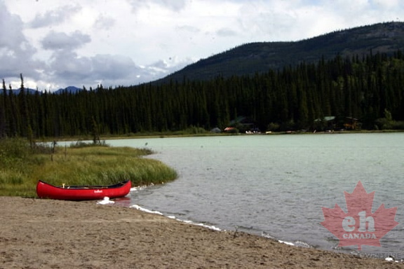 Sandy Beach
9182 hits
Beach landing of canoe on lake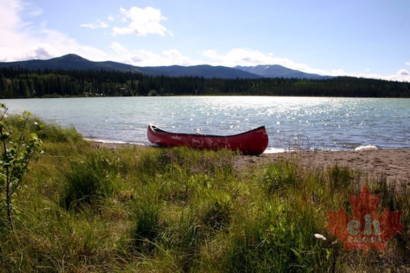 Canoe
Canoe
10623 hits
Canoeing on Kookatsoon Lake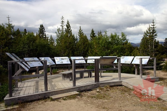 Interpretive Signs
11209 hits
History of the trail and log cabin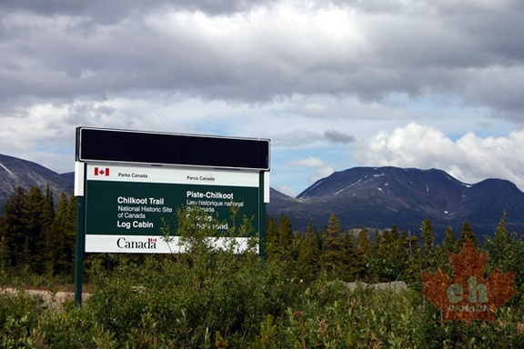 Klondike Highway Sign
9520 hits
Log Cabin National Historic Site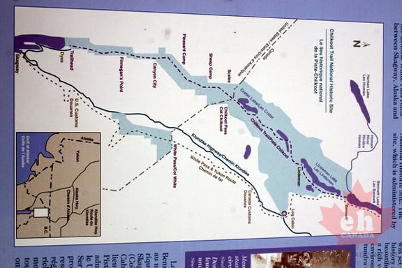 Trail Map
10094 hits
Map at trailhead Backpacking Trail
9574 hits
Trail leading us into the forest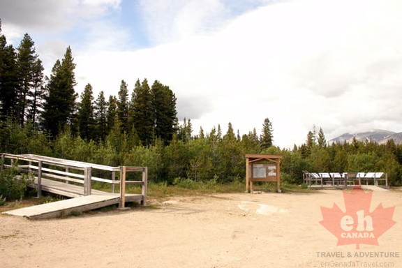 Trailhead Parking Lot
11176 hits
Log Cabin Trailhead on Klondike Highway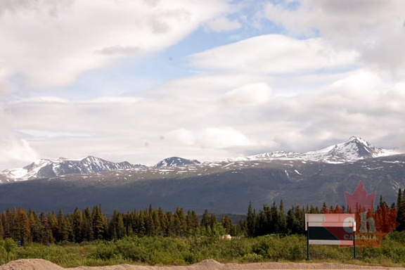 Mountain Views
10141 hits
Views from trailhead Lookout
10933 hits
People enjoying the views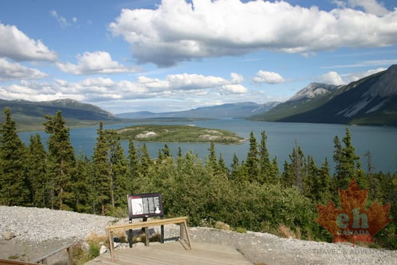 Interpretive Sign
9916 hits
Stories of history