Canada Gallery 16624

 Second Wye Lake
6015 hits
Popular lake in community Sign Post Forest
8263 hits
Forest of signs from around the world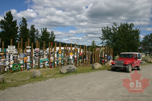 Sign Post Forest
9996 hits
Us parked by the popular attraction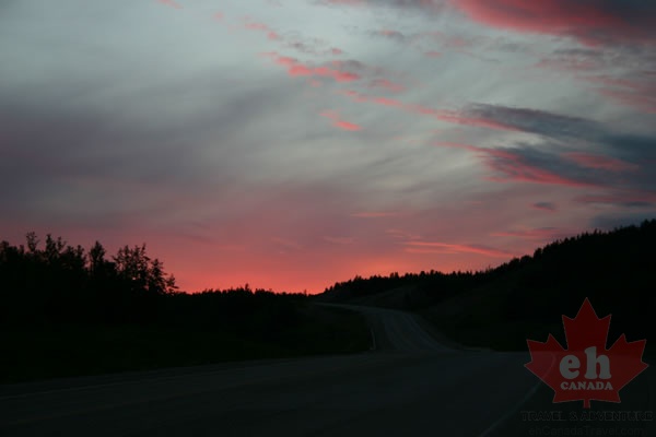 Purple Sunset
7457 hits
Wild colors on a short night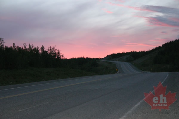 Alaska Highway
7980 hits
Driving into the purple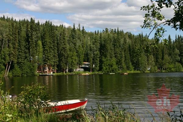 Boating
7925 hits
Recreation on Watson Lake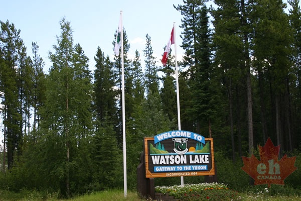 Welcome to Watson Lake
7841 hits
Alaska Highway welcome sign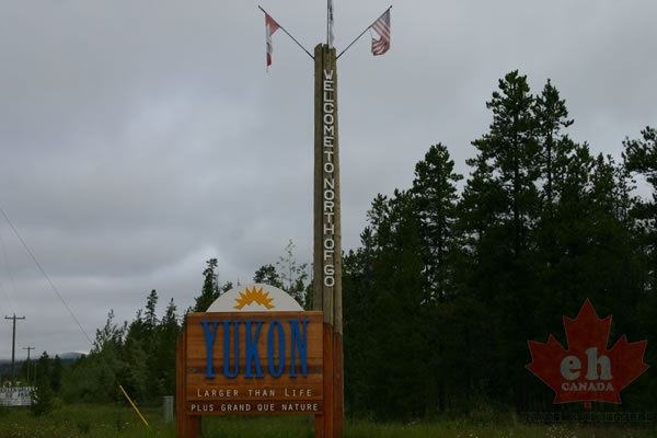 Welcome to Yukon
8204 hits
Welcome sign on Alaska Highway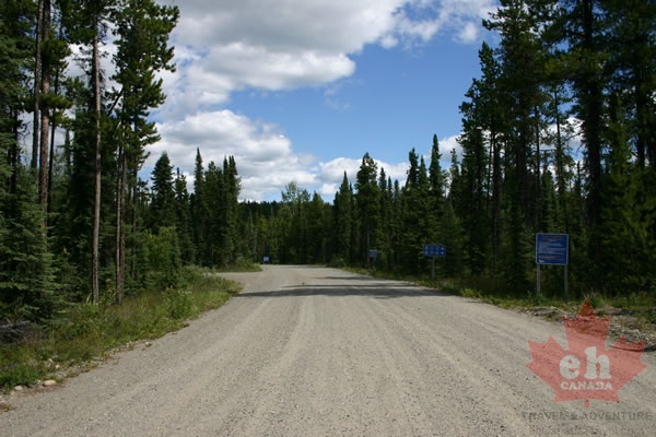 Gravel Access Road
9561 hits
Road to lake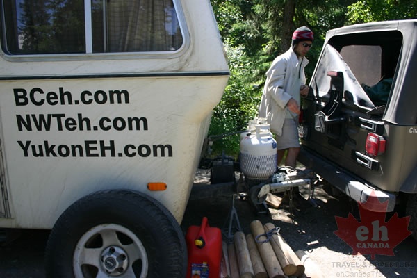 Base Camp
9112 hits
Setting up camp on Watson Lake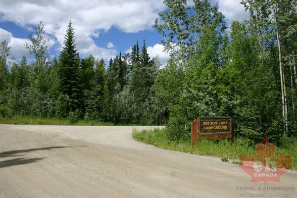 Gravel Road
8724 hits
Entrance to park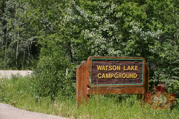 Entrance Sign
10353 hits
Entrance to lake park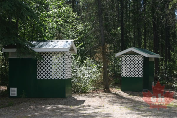 Pit Toilets
8803 hits
Tidy pit toilets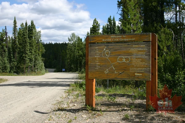 Map
Map
8489 hits
Park map at entrance Flowers
8850 hits
Spring on Watson Lake