Lund
British Columbia
Canada
Trail Length: 1.7 kmDifficulty: ModeratePark Amenities:
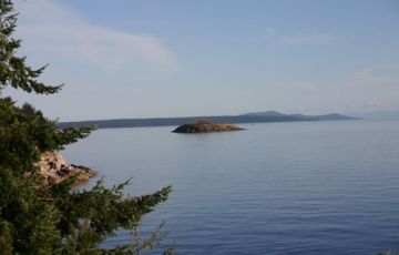
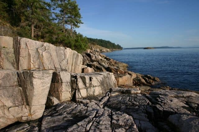
Dinner Rock Hiking Trail, is a switchback style trail system also known as the Brown Creek Trail. It covers 1.7 km (1.0 mi.) of easy to moderate hiking through pine and arbutus forests leading to fantastic ocean views on moss covered bluffs and rock outcrops. The short loop hiking and biking trail is located south of Lund BC on the top portion of the Sunshine Coast.
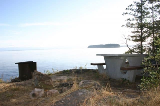
Trail hikers will encounter a picnic table area and another lookout with spanning views looking out at Dinner Rock on the left, Savary Island in the middle and Hernando Island on the right. Looking up there will most likely be some Bald Eagles patrolling the skies as there are some nests in the area and people swimming. There is a recreational campground.
The Dinner Rock Hiking Trail is not only popular with hikers but also attracts mountain bikers. Portion of the trail is also part of the 180 km Sunshine Coast Trail. The trail should not take more than an 2 hours to complete.
Dinner Rock Hiking Trail, Lund, BC, Sunshine Coast, Canada
Address:
Dinner Rock Hiking Trail
Highway 101
Lund
Canada
How To Get ToDinner Rock Hiking Trail
:
How to Get Here: From Powell River Westview area follow Hwy 101 for about 20 minutes to the Dinner Rock Campsite. The brown road sign is hard to see from the road. Park and walk to the trailhead.

dinner_rock_trail 005

dinner_rock_trail 015

dinner_rock_trail 007
No reviews yet for Dinner Rock Hiking Trail.
