Icefields Parkway

Difficulty: Easy - Family
Park Amenities:
The Icefields Parkway (Hwy #93) is a 230 kilometre (143 mile) activity corridor and a paved sightseeing highway exploring Banff National Park and Jasper National Park. The highway route runs parallel to the Continental Divide connecting the village of Lake Louise with the town of Jasper, Alberta, Canada.
The Icefields Parkway falls within a protected wilderness corridor called the Canadian Rocky Mountain Parks World Heritage Site . A designation handed out by UNESCO in 1984.
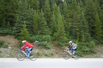
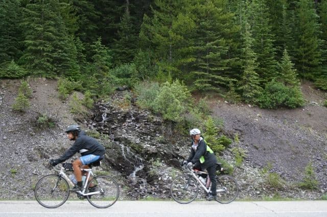
The well traveled Rocky Mountain highway is a popular transportation route for sightseeing vehicles and touring cyclists. The highway connects explorers with trailheads for hiking, backpacking, horseback riding and mountain biking adventures. There are also launching points on the rivers and lakes for canoe, kayak and rafting paddle trips.
The parkway explores a river valley following on or near the banks of the North Saskatchewan, Mistaya and the Bow Rivers. Surrounding the travel route are looming mountain ranges, alpine lakes, roaming wildlife and a family of glaciers. Some of the wildlife viewing opportunities include moose, bears, caribou, mountain sheep and goats.
The Wilson, Lyell, Saskatchewan, Columbia and Wapta Icefields are just a few of the glaciers located near the parkway. The Columbia Icefields is the most recognized of the group - very popular for sightseeing and flightseeing tours.
There are many mountain ranges along the Icefields Parkway corridor of the Rocky Mountains. Some of the mountains located along the route - some in view, some hidden in mountain ranges - include Mount Amery, Mount Athabasca, Mount Saskatchewan, Mount Sarbach, Mount Noyes, Epaulette Mountain, Mounta Patterson and Crowfoot Mountain.
Some of the wilderness backcountry regions located along the parkway corridor can be explored by hiking trail. Many of the trails are considered difficult routes with big elevation gains and challenging weather conditions. Weather can change fast in the alpine mountains.
Some of the hiking and backpacking trails located along the parkway include the Molar Pass (9.8 km), Dolomite Pass (9.1 km), Bow Glacier Falls (4.5 km), Sarbach Lookout (5.2 km), Sunset Pass (8.2 km), Glacier Lake (9 km), Nigel Pass (7.1 km) and Wilcox Pass (4.3 km) Trails.
Along the Icefields Parkway there are many areas for sightseeing and enjoying the scenery of mountains, rivers and creeks. Some are developed picnic areas while others are pull-out lookout viewpoints.
Picnic sites include Herbert Lake and Bow Lake. The lookouts include Crawfoot Glacier Lookout, Bow Glacier Lookout, Bow Summit Lookout, Saskatchewan Crossing Lookout and the Hector Lake Lookout.
Some of the highlight sightseeing destinations located along the Icefields Parkway include the Athabasca and Sunwapta Falls, the Columbia Icefield, Saskatchewan River Crossing, Bow Summit and the Athabasca and Saskatchewan Canadian Heritage Rivers.
Address:


