Tonquin Valley

Difficulty: Moderate
Park Amenities:
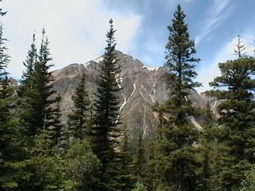
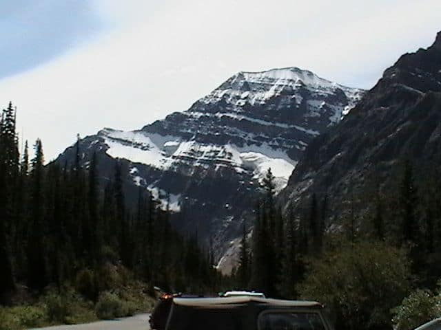
 The Tonquin Valley is home to a series of five recreation trails leading deep into the backcountry wilderness of the Jasper Park. Some routes are one-way while others can be combined with other trails forming loop routes. The trails include the Chrome Lake, Astoria, Moat lake, Maccarib Pass and the Eremite Trails.
In total there are approximately 70 kilometres of trails to explore in the Tonquin Valley taking anywhere from 2 - 7 days to complete depending on the routes taken and the size and fitness levels of the group. Along the routes are wilderness camps, a horse camp and a wilderness hut.
The Tonquin Valley is home to many species of wildlife. And in many cases the routes travel though bear country and mosquito country so it is wise to always be alert and prepared. Exploring the trails are best in the fall months when the bug count is lower.
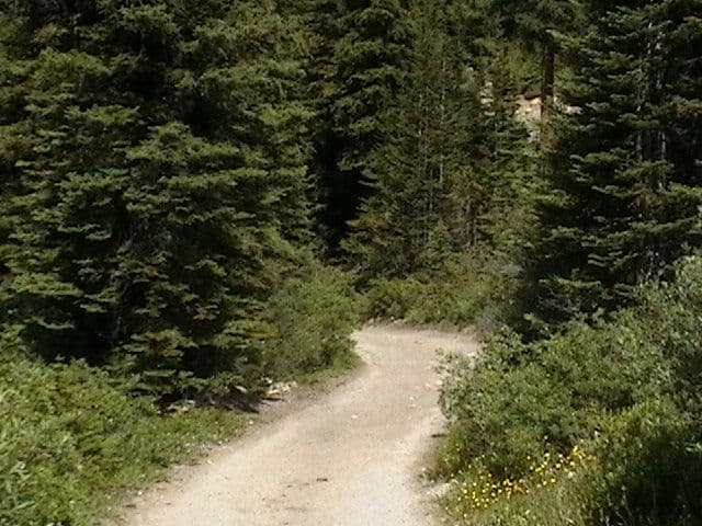
However, the trails are notoriously famous for long sections of trudging through mud. Mud breeds mosquitoes and, at times, can be as deep as your knees, so a good pair of boots or gaiters is a good move and plenty of bug spray is a wise move.
Hikers should try to avoid the trails after a heavy rain. And, no matter how muddy it gets do not veer off the path and disturb the sensitive flora and fauna. Below we detail the two main trails in the Tonquin Valley - the Astoria and Maccarib Trails.
Astoria Trail
The Astoria Trail is considered the easiest route in the Tonquin Valley measuring 16.9 kilometres exploring the Astoria Valley wilderness. The route begins by climbing up onto a ridge following the same line as the Astoria River. At the junction of the Astoria and Verdant Rivers is a one way trail leading to Verdant Pass at an elevation of of 2105 metres.
Stay right at the junction and continue following the Astoria River Trail to the base of Old Horne Mountain where there is another trail junction with the Chrome Lake Trail. Stay right and the Astoria Trail begins to climb a series of switchbacks up and around Old Horn Mountain before dropping down into a wildflower meadow and Amethyst Lake (fishing permitted).
In the distance are views of glaciers and the Ramparts Mountain Range. Continue along the shoreline trail of Amethyst Lake and you will connect with the Maccarib Trail and the Moat Lake Trail.
Near the junction of the Chrome Lake Trail is the Astoria Wilderness Campsite and after the switchbacks of Old Horn Mountain are more campsites including the Switchback, Surprise Point, Amethyst Lake and the Clitheroe Wilderness Campsites.
Maccarib Trail
The Maccarib Trail is a 23 kilometre wilderness trail with an elevation gain of 750 metres before reaching a peak elevation of 2373 metres in the mountain passes. Maccarib is the First Nation term for Caribou and this trail is known for Caribou sightings.
The Maccarib Trail route begins by following the the banks of the Maccarib River before passing under Peverly Peak and climbing up into the Maccarib Pass at an elevation of 2180 metres. Just before the mountain pass is the Portal Wilderness Campsite.
After climbing up into Maccarib Pass continue along the trail through an alpine meadow of wildflowers to the north end of Amethyst Lake where there is another wilderness campground, aptly named the Maccarib Campsite. Just up the trail from the campsite is a trail junction with the Moat Lake Trail.
At the junction with Moat Lake stay left and continue following the route to Amethyst Lake and the Amethyst Campsite. This is the most popular campsite on this route. If it is full, there is another campsite on the southern point of Amethyst Lake called the Surprise Point Campsite. From here you can connect with the Astoria River Trail.
Address:


