Bow River Pathway
Difficulty: Easy - Family
Park Amenities:
Bow River Trail (Pathway)
Calgary Parks, Trails and Places
Alberta Canada Parks & Trails
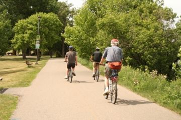
Bow River Pathway and the Elbow River Pathway are two of the most popular recreation trails and sightseeing routes located in the community of Calgary, Alberta in the Southern Alberta region of Canada.
 The popular river pathway system follows both banks of the Bow River and one bank at a time, crossing foot bridges, on the Elbow River. In total the Calgary trail network measures approximately 630+ kilometres. It is said to be the largest and longest paved urban trail network in North America.
The Bow River Pathway, basically, runs in a east-west direction and then turns north-south. In the west the trail begins near Bowness Park and travels east connecting with the Prince's Island Park in the centre of Calgary.
Continue east on the Bow River Pathway and you connect with Fort Calgary and the beginning of the Elbow River Pathway. Cross the Elbow River and continue on the Bow River Pathway south to the Inglewood Bird Sanctuary and then to the Fish Creek Provincial Park.
The Elbow River Pathway travels in a north-south direction connecting to attractions and parks. From the Bow River and Elbow River confluence near Fort Calgary travel south on the Elbow River Pathway and connect to River Park and the Glenmore Reservoir.
The community of Calgary has over 80 square kilometers of parkland and public green spaces. Much of it is connected to the city trail system.
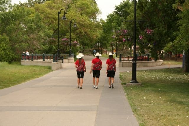
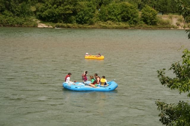
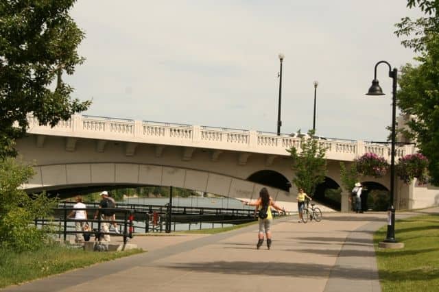
The pathway attracts many activities to the Bow River and Elbow River area. Some of the activities most popular while exploring the pathways include walking, hiking, jogging, biking and roller blading.
Located along the pathways are some day use picnic sites, large grass lawns, viewpoints, sightseeing benches, trail maps, washrooms, playgrounds and informational and directional signs.
Explore Calgary Parks, Trails and Places
Address:


